Mam Nick near Castleton
A cycling route starting in High Peak, England, United Kingdom.
Overview
About this route
Very reminiscent of a Lake District Pass and although its an easier alternative to Winnats Pass its just as steep in parts at 21%..
- -:--
- Duration
- 2.1 km
- Distance
- 209 m
- Ascent
- 0 m
- Descent
- ---
- Avg. speed
- ---
- Avg. speed
Route quality
Waytypes & surfaces along the route
Waytypes
Road
2.1 km
(100 %)
Continue with Bikemap
Use, edit, or download this cycling route
You would like to ride Mam Nick near Castleton or customize it for your own trip? Here is what you can do with this Bikemap route:
Free features
- Save this route as favorite or in collections
- Copy & plan your own version of this route
- Sync your route with Garmin or Wahoo
Premium features
Free trial for 3 days, or one-time payment. More about Bikemap Premium.
- Navigate this route on iOS & Android
- Export a GPX / KML file of this route
- Create your custom printout (try it for free)
- Download this route for offline navigation
Discover more Premium features.
Get Bikemap PremiumFrom our community
Other popular routes starting in High Peak
- 30k MTB Edale Peak District
- Distance
- 29.4 km
- Ascent
- 916 m
- Descent
- 916 m
- Location
- High Peak, England, United Kingdom
- Mam Nick near Castleton
- Distance
- 2.1 km
- Ascent
- 209 m
- Descent
- 0 m
- Location
- High Peak, England, United Kingdom
- Snake Pass circular
- Distance
- 105.2 km
- Ascent
- 1,155 m
- Descent
- 1,157 m
- Location
- High Peak, England, United Kingdom
- Edale kinder reservoir mam tor
- Distance
- 36.4 km
- Ascent
- 1,035 m
- Descent
- 1,034 m
- Location
- High Peak, England, United Kingdom
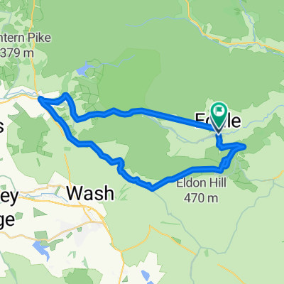
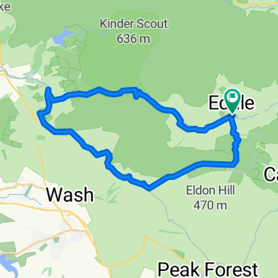
- edale to grindleford then a swift descent to hathersage
- Distance
- 49.7 km
- Ascent
- 568 m
- Descent
- 570 m
- Location
- High Peak, England, United Kingdom
- Two Dales Loop Options
- Distance
- 45.4 km
- Ascent
- 1,232 m
- Descent
- 1,233 m
- Location
- High Peak, England, United Kingdom
- Edale
- Distance
- 21.6 km
- Ascent
- 718 m
- Descent
- 719 m
- Location
- High Peak, England, United Kingdom
- Cong CC ride to The Tour Stage 2 6th July 2014 Edale to Tour Route
- Distance
- 28.7 km
- Ascent
- 364 m
- Descent
- 253 m
- Location
- High Peak, England, United Kingdom
Open it in the app