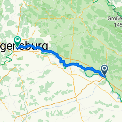
Winzer - Atzesberg
- 58.5 km
- 149 m
- 166 m
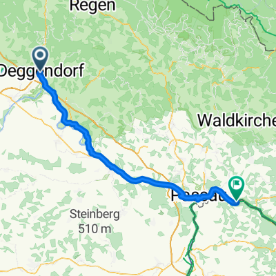
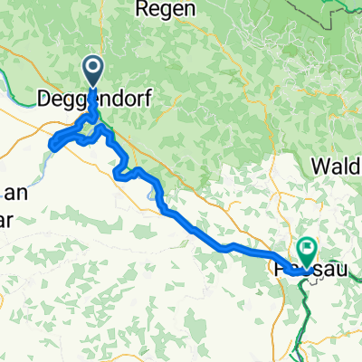
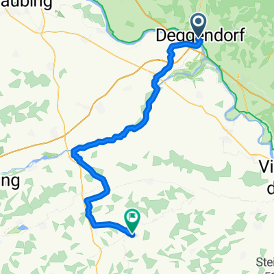
- Deggendorf, Bavaria, Germany
A cycling route starting in Deggendorf, Bavaria, Germany.
Overview
created this 4 years ago
Route quality
Road
40.7 km
(46 %)
Quiet road
21.2 km
(24 %)
Paved
79.7 km
(90 %)
Unpaved
0.9 km
(1 %)
Asphalt
79.7 km
(90 %)
Gravel
0.9 km
(1 %)
Undefined
8 km
(9 %)
Continue with Bikemap
You would like to ride Bischofsmais_2a_88km or customize it for your own trip? Here is what you can do with this Bikemap route:
Free trial for 3 days, or one-time payment. More about Bikemap Premium.
Discover more Premium features.
Get Bikemap PremiumFrom our community
Open it in the app