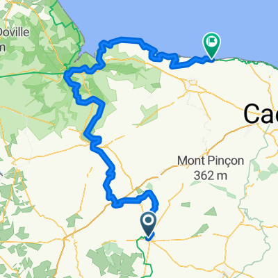
Velostour Tag 13: Rue Émile ZImmermann, Vire Normandie nach Chemin du Colombier, Port-en-Bessin-Huppain
- 72.2 km
- 744 m
- 873 m
- Vire, Normandy, France
A cycling route starting in Vire, Normandy, France.
Overview
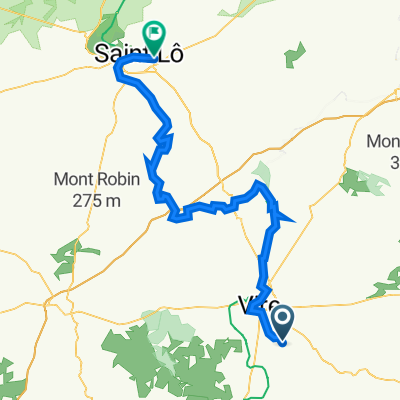
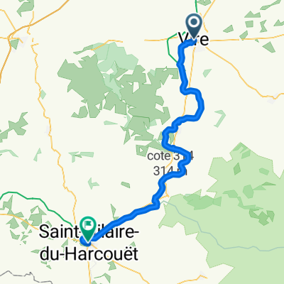
The Tour de Jumelage is going into its second round in August 2009. From Vire (Normandy), we will ride in 9 stages to the gates of Madrid to our twin city San Sabastian de los Reyes.
created this 17 years ago
Route quality
Road
22.9 km
(15 %)
Quiet road
16.8 km
(11 %)
Paved
45.8 km
(30 %)
Unpaved
3.1 km
(2 %)
Asphalt
45.8 km
(30 %)
Loose gravel
1.5 km
(1 %)
Route highlights
Hotel La Ferriere
Continue with Bikemap
You would like to ride 2009 1.Etappe Tour Vire - Sanse or customize it for your own trip? Here is what you can do with this Bikemap route:
Free trial for 3 days, or one-time payment. More about Bikemap Premium.
Discover more Premium features.
Get Bikemap PremiumFrom our community
Open it in the app