
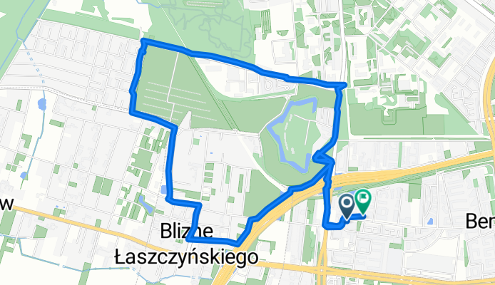
Generała Tadeusza Pełczyńskiego 139, Bemowo do Generała Tadeusza Pełczyńskiego 32A, Bemowo
A cycling route starting in Bemowo, Masovian Voivodeship, Poland.
Overview
About this route
- 47 min
- Duration
- 9.1 km
- Distance
- 32 m
- Ascent
- 32 m
- Descent
- 11.7 km/h
- Avg. speed
- ---
- Max. altitude

Continue with Bikemap
Use, edit, or download this cycling route
You would like to ride Generała Tadeusza Pełczyńskiego 139, Bemowo do Generała Tadeusza Pełczyńskiego 32A, Bemowo or customize it for your own trip? Here is what you can do with this Bikemap route:
Free features
- Save this route as favorite or in collections
- Copy & plan your own version of this route
- Sync your route with Garmin or Wahoo
Premium features
Free trial for 3 days, or one-time payment. More about Bikemap Premium.
- Navigate this route on iOS & Android
- Export a GPX / KML file of this route
- Create your custom printout (try it for free)
- Download this route for offline navigation
Discover more Premium features.
Get Bikemap PremiumFrom our community
Other popular routes starting in Bemowo
 Bemowo-Janów-Babice-Truskaw-Sieraków
- Distance
- 30.6 km
- Ascent
- 55 m
- Descent
- 54 m
- Location
- Bemowo, Masovian Voivodeship, Poland
 1 - Warszawa-Mariew-Zaborów-Leszno-Roztoka- Wiersze-Czosnów-Łomianki-Warszawa
- Distance
- 81.6 km
- Ascent
- 48 m
- Descent
- 64 m
- Location
- Bemowo, Masovian Voivodeship, Poland
 Generała Tadeusza Pełczyńskiego 139, Bemowo do Generała Tadeusza Pełczyńskiego 32A, Bemowo
- Distance
- 9.1 km
- Ascent
- 32 m
- Descent
- 32 m
- Location
- Bemowo, Masovian Voivodeship, Poland
 Śladami Powstania Warszawskiego
- Distance
- 22.1 km
- Ascent
- 137 m
- Descent
- 137 m
- Location
- Bemowo, Masovian Voivodeship, Poland
 F Kawy, Warszawa do F Kawy, Warszawa
- Distance
- 13.9 km
- Ascent
- 94 m
- Descent
- 95 m
- Location
- Bemowo, Masovian Voivodeship, Poland
 Bielany-Palmiry-Dziekanów-Bielany
- Distance
- 43.3 km
- Ascent
- 55 m
- Descent
- 56 m
- Location
- Bemowo, Masovian Voivodeship, Poland
 Trasa do F Kawy, Warszawa
- Distance
- 13 km
- Ascent
- 65 m
- Descent
- 70 m
- Location
- Bemowo, Masovian Voivodeship, Poland
![[PLAN] Siematycze z Warszawy - doliną Bugu](https://media.bikemap.net/routes/6497547/staticmaps/in_433a533b-22a6-48d2-8ede-fe0b78dfd1f7_400x400_bikemap-2021-3D-static.png) [PLAN] Siematycze z Warszawy - doliną Bugu
[PLAN] Siematycze z Warszawy - doliną Bugu- Distance
- 228.8 km
- Ascent
- 189 m
- Descent
- 166 m
- Location
- Bemowo, Masovian Voivodeship, Poland
Open it in the app