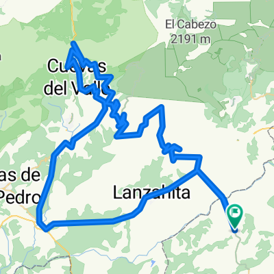
Mijares-Burgohondo-La Erilla-El Pico-Pedro Bernardo
A cycling route starting in Buenaventura, Castille-La Mancha, Spain.
Overview
About this route
- -:--
- Duration
- 129.9 km
- Distance
- 2,432 m
- Ascent
- 2,428 m
- Descent
- ---
- Avg. speed
- ---
- Max. altitude
Route quality
Waytypes & surfaces along the route
Waytypes
Busy road
75.5 km
(58 %)
Track
23.2 km
(18 %)
Surfaces
Paved
94.3 km
(73 %)
Unpaved
7 km
(5 %)
Asphalt
94.1 km
(72 %)
Ground
3.6 km
(3 %)
Continue with Bikemap
Use, edit, or download this cycling route
You would like to ride Mijares-Burgohondo-La Erilla-El Pico-Pedro Bernardo or customize it for your own trip? Here is what you can do with this Bikemap route:
Free features
- Save this route as favorite or in collections
- Copy & plan your own version of this route
- Split it into stages to create a multi-day tour
- Sync your route with Garmin or Wahoo
Premium features
Free trial for 3 days, or one-time payment. More about Bikemap Premium.
- Navigate this route on iOS & Android
- Export a GPX / KML file of this route
- Create your custom printout (try it for free)
- Download this route for offline navigation
Discover more Premium features.
Get Bikemap PremiumFrom our community
Other popular routes starting in Buenaventura
- Buenaventura-Guisando-Centenera-Sidrillo-Pedro Bernardo
- Distance
- 111.6 km
- Ascent
- 1,746 m
- Descent
- 1,746 m
- Location
- Buenaventura, Castille-La Mancha, Spain
- BV-Guisando-Centenera-El Sidrillo-Serranillos-PB
- Distance
- 162.6 km
- Ascent
- 2,460 m
- Descent
- 2,460 m
- Location
- Buenaventura, Castille-La Mancha, Spain
- Buenaventura-Centenera-El Sidrillo
- Distance
- 111.4 km
- Ascent
- 1,754 m
- Descent
- 1,754 m
- Location
- Buenaventura, Castille-La Mancha, Spain
- Buenaventura, El Pico, Mijares
- Distance
- 127.9 km
- Ascent
- 2,276 m
- Descent
- 2,276 m
- Location
- Buenaventura, Castille-La Mancha, Spain
- Mijares-Navaquesera-El Pico-Pedro Bernardo
- Distance
- 126.5 km
- Ascent
- 2,482 m
- Descent
- 2,478 m
- Location
- Buenaventura, Castille-La Mancha, Spain
- Buenaventura - Embalse Navalcán
- Distance
- 46.4 km
- Ascent
- 523 m
- Descent
- 582 m
- Location
- Buenaventura, Castille-La Mancha, Spain
- Buenaventura-Centenera-Mijares
- Distance
- 160.2 km
- Ascent
- 2,621 m
- Descent
- 2,620 m
- Location
- Buenaventura, Castille-La Mancha, Spain
- Mijares-Burgohondo-La Erilla-El Pico-Pedro Bernardo
- Distance
- 129.9 km
- Ascent
- 2,432 m
- Descent
- 2,428 m
- Location
- Buenaventura, Castille-La Mancha, Spain
Open it in the app