
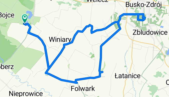
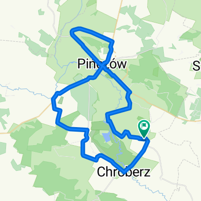
Gacki-Busko Zdrój-Gacki
A cycling route starting in Gmina Złota, Świętokrzyskie Voivodship, Poland.
Overview
About this route
Krajobrazowa trasa z pięknym parkiem zdrojowym w Busku i ciekawymi krajobrazami Ponidzia
- -:--
- Duration
- 35.3 km
- Distance
- 149 m
- Ascent
- 149 m
- Descent
- ---
- Avg. speed
- ---
- Max. altitude
Route quality
Waytypes & surfaces along the route
Waytypes
Quiet road
18.4 km
(52 %)
Road
14.2 km
(40 %)
Surfaces
Paved
34.6 km
(98 %)
Unpaved
0.2 km
(<1 %)
Asphalt
32.9 km
(93 %)
Paving stones
1.6 km
(5 %)
Continue with Bikemap
Use, edit, or download this cycling route
You would like to ride Gacki-Busko Zdrój-Gacki or customize it for your own trip? Here is what you can do with this Bikemap route:
Free features
- Save this route as favorite or in collections
- Copy & plan your own version of this route
- Sync your route with Garmin or Wahoo
Premium features
Free trial for 3 days, or one-time payment. More about Bikemap Premium.
- Navigate this route on iOS & Android
- Export a GPX / KML file of this route
- Create your custom printout (try it for free)
- Download this route for offline navigation
Discover more Premium features.
Get Bikemap PremiumFrom our community
Other popular routes starting in Gmina Złota
 Ponidzie rowerowo
- Distance
- 37.1 km
- Ascent
- 322 m
- Descent
- 318 m
- Location
- Gmina Złota, Świętokrzyskie Voivodship, Poland
 H Sienkiewicza, Złota do H Sienkiewicza, Złota
- Distance
- 11.3 km
- Ascent
- 68 m
- Descent
- 70 m
- Location
- Gmina Złota, Świętokrzyskie Voivodship, Poland
 złota wieś
- Distance
- 45.1 km
- Ascent
- 414 m
- Descent
- 415 m
- Location
- Gmina Złota, Świętokrzyskie Voivodship, Poland
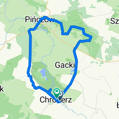
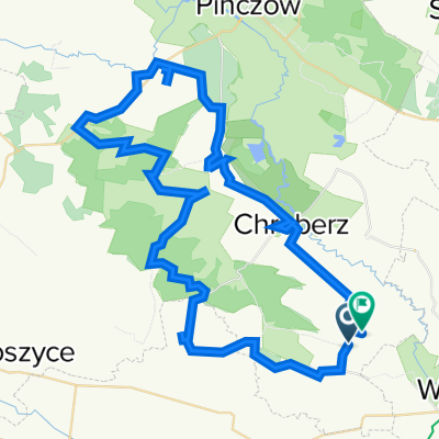
 Gacki-Pińczów-Gacki
- Distance
- 51.1 km
- Ascent
- 236 m
- Descent
- 235 m
- Location
- Gmina Złota, Świętokrzyskie Voivodship, Poland
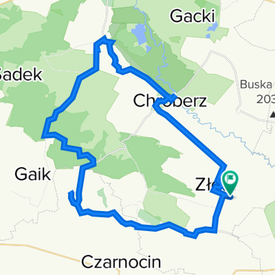
 Kozubów, Wojsławice, Wola Chroberska, Nieprowice
- Distance
- 29 km
- Ascent
- 183 m
- Descent
- 242 m
- Location
- Gmina Złota, Świętokrzyskie Voivodship, Poland
 złota
złota- Distance
- 68.6 km
- Ascent
- 685 m
- Descent
- 702 m
- Location
- Gmina Złota, Świętokrzyskie Voivodship, Poland
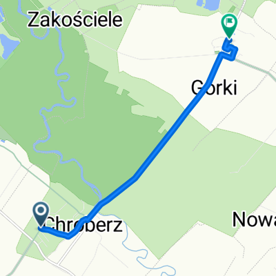 14A, Chroberz do 0071T 14
- Distance
- 5.2 km
- Ascent
- 24 m
- Descent
- 21 m
- Location
- Gmina Złota, Świętokrzyskie Voivodship, Poland
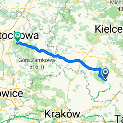 etap_II
- Distance
- 117.2 km
- Ascent
- 261 m
- Descent
- 150 m
- Location
- Gmina Złota, Świętokrzyskie Voivodship, Poland
Open it in the app