

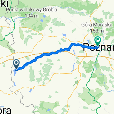
Zbąszyń-Babi-Wielka Wieś-Żodyń-Chobienice-Zbąszyń
A cycling route starting in Zbąszyń, Greater Poland Voivodeship, Poland.
Overview
About this route
Zbąszyń-Babi-Wielka Wieś-Żodyń-Chobienice-Zbąszyń
Some elevations, generally most of the road is asphalt in good condition, although in parts it is a disaster.
- -:--
- Duration
- 57.1 km
- Distance
- 98 m
- Ascent
- 98 m
- Descent
- ---
- Avg. speed
- ---
- Max. altitude
Route quality
Waytypes & surfaces along the route
Waytypes
Road
15.4 km
(27 %)
Cycleway
9.7 km
(17 %)
Surfaces
Paved
31.4 km
(55 %)
Asphalt
30.8 km
(54 %)
Paved (undefined)
0.6 km
(1 %)
Undefined
25.7 km
(45 %)
Continue with Bikemap
Use, edit, or download this cycling route
You would like to ride Zbąszyń-Babi-Wielka Wieś-Żodyń-Chobienice-Zbąszyń or customize it for your own trip? Here is what you can do with this Bikemap route:
Free features
- Save this route as favorite or in collections
- Copy & plan your own version of this route
- Sync your route with Garmin or Wahoo
Premium features
Free trial for 3 days, or one-time payment. More about Bikemap Premium.
- Navigate this route on iOS & Android
- Export a GPX / KML file of this route
- Create your custom printout (try it for free)
- Download this route for offline navigation
Discover more Premium features.
Get Bikemap PremiumFrom our community
Other popular routes starting in Zbąszyń
 Zbąszyń-Babi-Wielka Wieś-Żodyń-Chobienice-Zbąszyń
- Distance
- 57.1 km
- Ascent
- 98 m
- Descent
- 98 m
- Location
- Zbąszyń, Greater Poland Voivodeship, Poland
 Zbąszyn na około
- Distance
- 42.6 km
- Ascent
- 97 m
- Descent
- 96 m
- Location
- Zbąszyń, Greater Poland Voivodeship, Poland
 Zarin nach krasno
- Distance
- 74.9 km
- Ascent
- 328 m
- Descent
- 308 m
- Location
- Zbąszyń, Greater Poland Voivodeship, Poland
 Taaka o traska
- Distance
- 156.3 km
- Ascent
- 289 m
- Descent
- 287 m
- Location
- Zbąszyń, Greater Poland Voivodeship, Poland
 ZBĄSZYŃ - BABIMOST - ZBĄSZYŃ
- Distance
- 35.5 km
- Ascent
- 73 m
- Descent
- 76 m
- Location
- Zbąszyń, Greater Poland Voivodeship, Poland
 6.Zbąszyń-Poznań
- Distance
- 81.5 km
- Ascent
- 106 m
- Descent
- 94 m
- Location
- Zbąszyń, Greater Poland Voivodeship, Poland
 Przysiółki 4A, Zbąszyń do Przysiółki 3, Zbąszyń
- Distance
- 59.7 km
- Ascent
- 207 m
- Descent
- 207 m
- Location
- Zbąszyń, Greater Poland Voivodeship, Poland
 traska kwietniowa
- Distance
- 142 km
- Ascent
- 264 m
- Descent
- 264 m
- Location
- Zbąszyń, Greater Poland Voivodeship, Poland
Open it in the app