

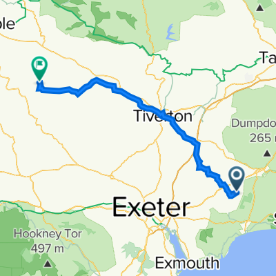
East Hill Strips Ride
A cycling route starting in Ottery St Mary, England, United Kingdom.
Overview
About this route
- -:--
- Duration
- 11.5 km
- Distance
- 86 m
- Ascent
- 86 m
- Descent
- ---
- Avg. speed
- ---
- Max. altitude

Route quality
Waytypes & surfaces along the route
Waytypes
Quiet road
8.1 km
(71 %)
Track
3.2 km
(28 %)
Cycleway
0.2 km
(2 %)
Continue with Bikemap
Use, edit, or download this cycling route
You would like to ride East Hill Strips Ride or customize it for your own trip? Here is what you can do with this Bikemap route:
Free features
- Save this route as favorite or in collections
- Copy & plan your own version of this route
- Sync your route with Garmin or Wahoo
Premium features
Free trial for 3 days, or one-time payment. More about Bikemap Premium.
- Navigate this route on iOS & Android
- Export a GPX / KML file of this route
- Create your custom printout (try it for free)
- Download this route for offline navigation
Discover more Premium features.
Get Bikemap PremiumFrom our community
Other popular routes starting in Ottery St Mary
 day 3
day 3- Distance
- 48.3 km
- Ascent
- 1,053 m
- Descent
- 1,086 m
- Location
- Ottery St Mary, England, United Kingdom
 home 2017 3
- Distance
- 139.7 km
- Ascent
- 1,126 m
- Descent
- 1,129 m
- Location
- Ottery St Mary, England, United Kingdom
 Pig Lane, Ottery St Mary to T S Hermes, Canal Hill, Tiverton
- Distance
- 26.3 km
- Ascent
- 386 m
- Descent
- 355 m
- Location
- Ottery St Mary, England, United Kingdom
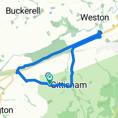 Gittisham
- Distance
- 6.4 km
- Ascent
- 60 m
- Descent
- 58 m
- Location
- Ottery St Mary, England, United Kingdom
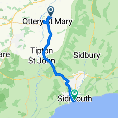 ottery to sidmouth
- Distance
- 12.3 km
- Ascent
- 152 m
- Descent
- 211 m
- Location
- Ottery St Mary, England, United Kingdom
 CHINEWAY HILL, por Ottery Saint Mary
- Distance
- 3.7 km
- Ascent
- 195 m
- Descent
- 0 m
- Location
- Ottery St Mary, England, United Kingdom
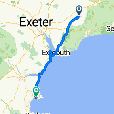
 Oakland, Exeter Road, Ottery Saint Mary to 36 East Street, Okehampton
- Distance
- 56.1 km
- Ascent
- 800 m
- Descent
- 746 m
- Location
- Ottery St Mary, England, United Kingdom
 Kevin - Collacot
- Distance
- 62.3 km
- Ascent
- 870 m
- Descent
- 805 m
- Location
- Ottery St Mary, England, United Kingdom
Open it in the app