Kottenforst Singletrails
- 17.3 km
- 144 m
- 144 m
- Alfter, North Rhine-Westphalia, Germany
A cycling route starting in Alfter, North Rhine-Westphalia, Germany.
Overview
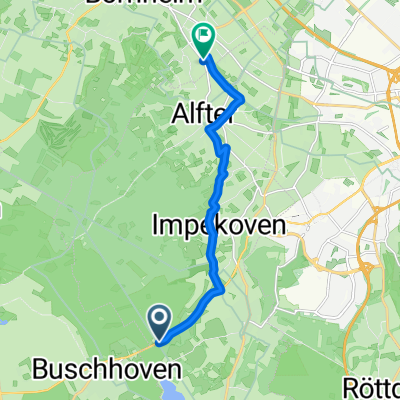
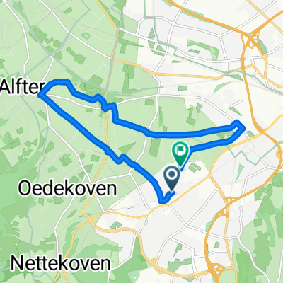
The tour starts in Buschhoven and passes by the beer garden 'Zum Römerkanal', following the bike path along L493 to Morenhoven. It continues on the bike path to Rheinbach. If you want, you can already take a short break here and have an ice cream. Through the town towards Meckenheim, it goes up to the roundabout at Koblenzer Straße. From here, it heads towards Wormersdorf exiting Rheinbach. At the end of town, turn right onto 'An der Glasfachschule' street. From here, the route follows the Castles Route through Wormersdorf, Ersdorf, past Münchhausen Castle, Adendorf and Klein Villip up to L267. Along L267 it goes to Villiprott. On the village street, there is another nice beer garden to cool your dry throat with a beer. Through the forest, past the hunter's lodge, it goes to Kottenforst station. If you haven't had enough beer by now, you can have some more at the station. From here, it's only about 4 km back to Buschhoven. Have fun!
created this 14 years ago
Route quality
Track
14.9 km
(42 %)
Quiet road
6.4 km
(18 %)
Paved
28.7 km
(81 %)
Unpaved
4.2 km
(12 %)
Asphalt
28.3 km
(80 %)
Gravel
2.5 km
(7 %)
Route highlights
Biergarten
Eisdiele
Biergarten
Biergarten
Continue with Bikemap
You would like to ride Rund um Meckenheim or customize it for your own trip? Here is what you can do with this Bikemap route:
Free trial for 3 days, or one-time payment. More about Bikemap Premium.
Discover more Premium features.
Get Bikemap PremiumFrom our community
Open it in the app