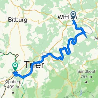
Bornweg 10, Wittlich nach Feldstraße 17, Wittlich
- 43.3 km
- 495 m
- 515 m
- Altrich, Rhineland-Palatinate, Germany
A cycling route starting in Altrich, Rhineland-Palatinate, Germany.
Overview
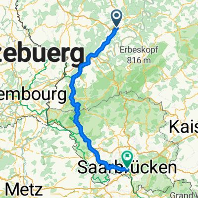
From Wittlich to Koblenz up the Moselle, via Mühlheim-Kärlich to Unkel on the Rhine.
Unfortunately, I got lost once on the Moselle. At Neef, there's a gravel section – better to switch to the other side of the Moselle. (Neef via the bridge to Ediger-Eller)
created this 14 years ago
Route quality
Quiet road
43.5 km
(23 %)
Path
28.4 km
(15 %)
Paved
155 km
(82 %)
Unpaved
7.6 km
(4 %)
Asphalt
145.6 km
(77 %)
Paved (undefined)
9.5 km
(5 %)
Continue with Bikemap
You would like to ride Wittlich-Unkel or customize it for your own trip? Here is what you can do with this Bikemap route:
Free trial for 3 days, or one-time payment. More about Bikemap Premium.
Discover more Premium features.
Get Bikemap PremiumFrom our community
Open it in the app