
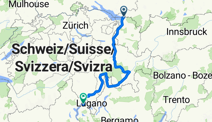
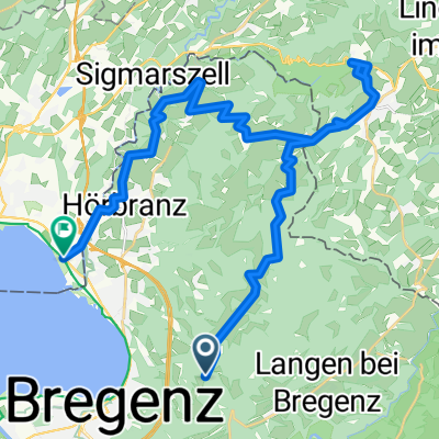
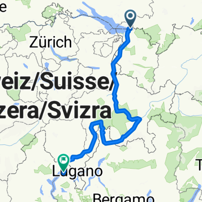
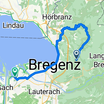
Tour Extrem 2010
A cycling route starting in Eichenberg, Vorarlberg, Austria.
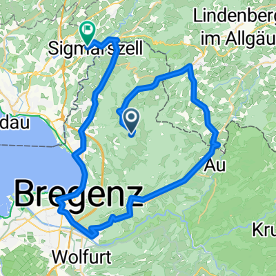
Overview
About this route
- -:--
- Duration
- 380.4 km
- Distance
- 4,583 m
- Ascent
- 5,179 m
- Descent
- ---
- Avg. speed
- ---
- Max. altitude
Route quality
Waytypes & surfaces along the route
Waytypes
Quiet road
41.8 km
(11 %)
Road
30.4 km
(8 %)
Surfaces
Paved
350 km
(92 %)
Unpaved
15.2 km
(4 %)
Asphalt
350 km
(92 %)
Gravel
7.6 km
(2 %)
Route highlights
Points of interest along the route
Point of interest after 106.2 km
Lenzerheide
Point of interest after 242.9 km
Madesimo
Point of interest after 380.1 km
Luino
Continue with Bikemap
Use, edit, or download this cycling route
You would like to ride Tour Extrem 2010 or customize it for your own trip? Here is what you can do with this Bikemap route:
Free features
- Save this route as favorite or in collections
- Copy & plan your own version of this route
- Split it into stages to create a multi-day tour
- Sync your route with Garmin or Wahoo
Premium features
Free trial for 3 days, or one-time payment. More about Bikemap Premium.
- Navigate this route on iOS & Android
- Export a GPX / KML file of this route
- Create your custom printout (try it for free)
- Download this route for offline navigation
Discover more Premium features.
Get Bikemap PremiumFrom our community
Other popular routes starting in Eichenberg
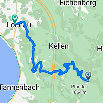
 Pfänder Bergab 1
- Distance
- 33.9 km
- Ascent
- 314 m
- Descent
- 924 m
- Location
- Eichenberg, Vorarlberg, Austria
 Tour Extrem 2010
- Distance
- 380.4 km
- Ascent
- 4,583 m
- Descent
- 5,179 m
- Location
- Eichenberg, Vorarlberg, Austria
 pfänderrunde nord
- Distance
- 20.2 km
- Ascent
- 130 m
- Descent
- 748 m
- Location
- Eichenberg, Vorarlberg, Austria
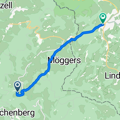 Lutzenreute nach Scheidegg
- Distance
- 7.1 km
- Ascent
- 132 m
- Descent
- 126 m
- Location
- Eichenberg, Vorarlberg, Austria
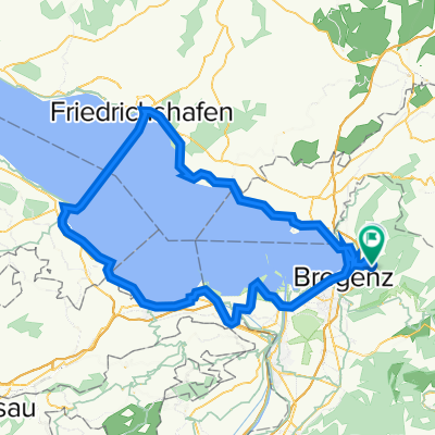 Bodensee
- Distance
- 102.2 km
- Ascent
- 949 m
- Descent
- 949 m
- Location
- Eichenberg, Vorarlberg, Austria
 PFAENDER UEBER JUGGEN
- Distance
- 9.8 km
- Ascent
- 418 m
- Descent
- 414 m
- Location
- Eichenberg, Vorarlberg, Austria
 Pfänder
- Distance
- 6.2 km
- Ascent
- 77 m
- Descent
- 667 m
- Location
- Eichenberg, Vorarlberg, Austria
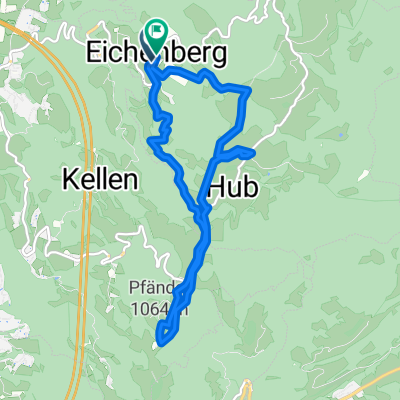
 um den Pfänder
- Distance
- 46.7 km
- Ascent
- 426 m
- Descent
- 772 m
- Location
- Eichenberg, Vorarlberg, Austria
Open it in the app