

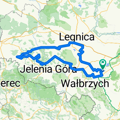
T1.mega
A cycling route starting in Żarów, Lower Silesian Voivodeship, Poland.
Overview
About this route
Bielany -> Mietków -> kierunek Wałbrzych (ale nie wjeżdżamy do miasta) -> Jezioro Bystrzyckie -> autostrada Sudecka -> Tąpadła -> Bielany
- -:--
- Duration
- 170.8 km
- Distance
- 996 m
- Ascent
- 996 m
- Descent
- ---
- Avg. speed
- ---
- Max. altitude

Route quality
Waytypes & surfaces along the route
Waytypes
Road
104.2 km
(61 %)
Quiet road
49.5 km
(29 %)
Surfaces
Paved
128.1 km
(75 %)
Asphalt
124.7 km
(73 %)
Paved (undefined)
1.7 km
(1 %)
Continue with Bikemap
Use, edit, or download this cycling route
You would like to ride T1.mega or customize it for your own trip? Here is what you can do with this Bikemap route:
Free features
- Save this route as favorite or in collections
- Copy & plan your own version of this route
- Split it into stages to create a multi-day tour
- Sync your route with Garmin or Wahoo
Premium features
Free trial for 3 days, or one-time payment. More about Bikemap Premium.
- Navigate this route on iOS & Android
- Export a GPX / KML file of this route
- Create your custom printout (try it for free)
- Download this route for offline navigation
Discover more Premium features.
Get Bikemap PremiumFrom our community
Other popular routes starting in Żarów
 T1.mega
- Distance
- 170.8 km
- Ascent
- 996 m
- Descent
- 996 m
- Location
- Żarów, Lower Silesian Voivodeship, Poland
 Trasa z Wałbrzyska 12–29A, Borzygniew
- Distance
- 15 km
- Ascent
- 78 m
- Descent
- 81 m
- Location
- Żarów, Lower Silesian Voivodeship, Poland
 Dzikowa 3, Mietków do Szczęśliwa 29, Wrocław
- Distance
- 43.5 km
- Ascent
- 475 m
- Descent
- 525 m
- Location
- Żarów, Lower Silesian Voivodeship, Poland
 Czereśniowa do Czereśniowa
- Distance
- 33.6 km
- Ascent
- 141 m
- Descent
- 140 m
- Location
- Żarów, Lower Silesian Voivodeship, Poland
 góry Kaczawskie deszcz
- Distance
- 306.1 km
- Ascent
- 1,109 m
- Descent
- 1,105 m
- Location
- Żarów, Lower Silesian Voivodeship, Poland
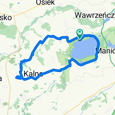
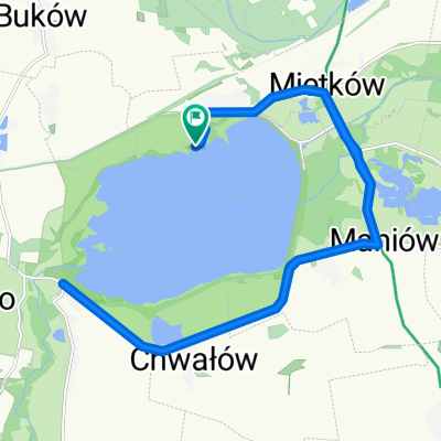 triathlon Mietków 2016
- Distance
- 45.9 km
- Ascent
- 221 m
- Descent
- 221 m
- Location
- Żarów, Lower Silesian Voivodeship, Poland
 Letniskowa 1, Borzygniew do Letniskowa 1, Borzygniew
- Distance
- 15 km
- Ascent
- 231 m
- Descent
- 226 m
- Location
- Żarów, Lower Silesian Voivodeship, Poland
 Tour de Bałtyk
- Distance
- 801.7 km
- Ascent
- 412 m
- Descent
- 579 m
- Location
- Żarów, Lower Silesian Voivodeship, Poland
Open it in the app