

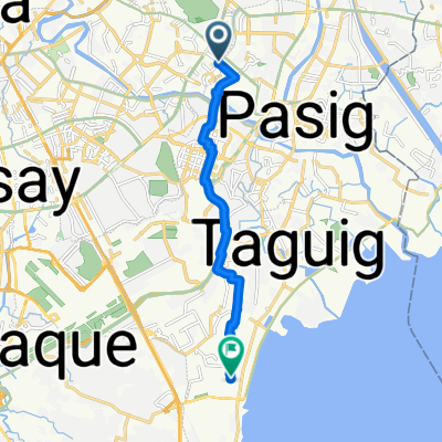
Route to Malasiqui - Bayambang Road 34
A cycling route starting in Pasig, National Capital Region, Philippines.
Overview
About this route
- 6 h 48 min
- Duration
- 184 km
- Distance
- 1,684 m
- Ascent
- 1,666 m
- Descent
- 27.1 km/h
- Avg. speed
- ---
- Max. altitude

Continue with Bikemap
Use, edit, or download this cycling route
You would like to ride Route to Malasiqui - Bayambang Road 34 or customize it for your own trip? Here is what you can do with this Bikemap route:
Free features
- Save this route as favorite or in collections
- Copy & plan your own version of this route
- Split it into stages to create a multi-day tour
- Sync your route with Garmin or Wahoo
Premium features
Free trial for 3 days, or one-time payment. More about Bikemap Premium.
- Navigate this route on iOS & Android
- Export a GPX / KML file of this route
- Create your custom printout (try it for free)
- Download this route for offline navigation
Discover more Premium features.
Get Bikemap PremiumFrom our community
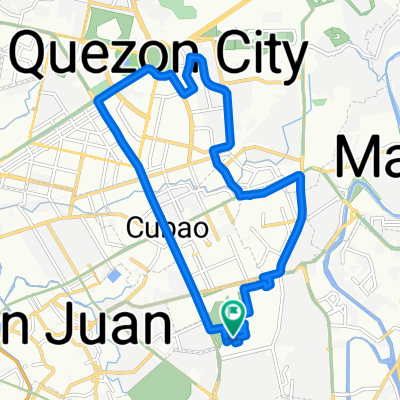
Other popular routes starting in Pasig
 Kalinangan Street 3, Pasig to Kingfisher, Marilao
- Distance
- 32.8 km
- Ascent
- 213 m
- Descent
- 189 m
- Location
- Pasig, National Capital Region, Philippines
 Work to House 8.22.2018
- Distance
- 13.6 km
- Ascent
- 163 m
- Descent
- 213 m
- Location
- Pasig, National Capital Region, Philippines
 Alaminos - San Antonio Exchange Regency
- Distance
- 82.6 km
- Ascent
- 246 m
- Descent
- 199 m
- Location
- Pasig, National Capital Region, Philippines
 Moderate route
- Distance
- 18.2 km
- Ascent
- 256 m
- Descent
- 274 m
- Location
- Pasig, National Capital Region, Philippines
 Gameville
- Distance
- 12.1 km
- Ascent
- 58 m
- Descent
- 83 m
- Location
- Pasig, National Capital Region, Philippines
 Route to Malasiqui - Bayambang Road 34
- Distance
- 184 km
- Ascent
- 1,684 m
- Descent
- 1,666 m
- Location
- Pasig, National Capital Region, Philippines
 San Antonio, Pasig to Retired Reverend G Aglipay St, Mandaluyong
- Distance
- 6.2 km
- Ascent
- 8 m
- Descent
- 43 m
- Location
- Pasig, National Capital Region, Philippines
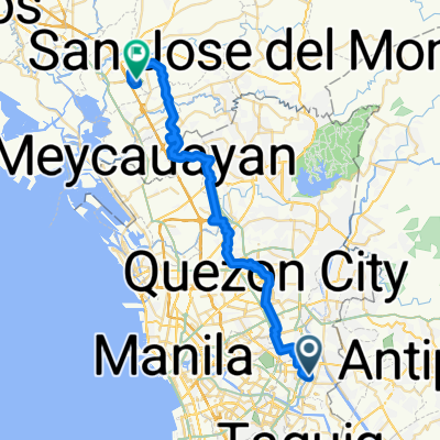 Route from C.Santos
- Distance
- 47.3 km
- Ascent
- 259 m
- Descent
- 258 m
- Location
- Pasig, National Capital Region, Philippines
Open it in the app