W-P3a: Kallmünz - Paulushofen 65,1km 530hm
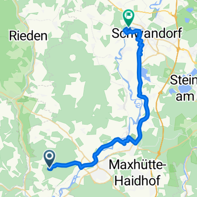
A cycling route starting in Kallmünz, Bavaria, Germany.
Overview
About this route
Landgasthof Euringer or Altmühlberg Hotel&Restaurant
- -:--
- Duration
- 65.1 km
- Distance
- 530 m
- Ascent
- 365 m
- Descent
- ---
- Avg. speed
- ---
- Max. altitude
Route quality
Waytypes & surfaces along the route
Waytypes
Quiet road
22.1 km
(34 %)
Track
17.6 km
(27 %)
Surfaces
Paved
46.2 km
(71 %)
Unpaved
8.5 km
(13 %)
Asphalt
34.5 km
(53 %)
Paved (undefined)
11.7 km
(18 %)
Continue with Bikemap
Use, edit, or download this cycling route
You would like to ride W-P3a: Kallmünz - Paulushofen 65,1km 530hm or customize it for your own trip? Here is what you can do with this Bikemap route:
Free features
- Save this route as favorite or in collections
- Copy & plan your own version of this route
- Sync your route with Garmin or Wahoo
Premium features
Free trial for 3 days, or one-time payment. More about Bikemap Premium.
- Navigate this route on iOS & Android
- Export a GPX / KML file of this route
- Create your custom printout (try it for free)
- Download this route for offline navigation
Discover more Premium features.
Get Bikemap PremiumFrom our community
Other popular routes starting in Kallmünz
- Naabtal-Donau bis Weltenburg
- Distance
- 63 km
- Ascent
- 427 m
- Descent
- 405 m
- Location
- Kallmünz, Bavaria, Germany
- Kallmünz - Regensburg über Pettendorf
- Distance
- 27.1 km
- Ascent
- 243 m
- Descent
- 238 m
- Location
- Kallmünz, Bavaria, Germany
- Kallmünz nach Wörth an der Isar
- Distance
- 96.1 km
- Ascent
- 976 m
- Descent
- 965 m
- Location
- Kallmünz, Bavaria, Germany
- W-P3a: Kallmünz - Paulushofen 65,1km 530hm
- Distance
- 65.1 km
- Ascent
- 530 m
- Descent
- 365 m
- Location
- Kallmünz, Bavaria, Germany
- PVDA-Tag2
- Distance
- 79.8 km
- Ascent
- 512 m
- Descent
- 513 m
- Location
- Kallmünz, Bavaria, Germany
- Naabfahrt Kallmünz-Burglengenfeld
- Distance
- 9.6 km
- Ascent
- 106 m
- Descent
- 100 m
- Location
- Kallmünz, Bavaria, Germany
- Kallmünz - Regensburg
- Distance
- 53.2 km
- Ascent
- 321 m
- Descent
- 321 m
- Location
- Kallmünz, Bavaria, Germany
- Kallmünz_Schmidmühlen
- Distance
- 17.9 km
- Ascent
- 462 m
- Descent
- 492 m
- Location
- Kallmünz, Bavaria, Germany
Open it in the app