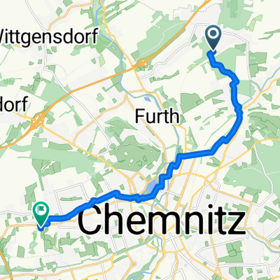
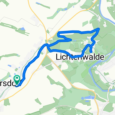
- 11.3 km
- 80 m
- 93 m
- Hilbersdorf, Saxony, Germany
Tscheff`s kleine Gebirgsrunde^^
A cycling route starting in Hilbersdorf, Saxony, Germany.
Overview
About this route
The route starts quite easily, relatively straight on asphalt or bike paths, then becomes a bit hillier from Einsiedel... It's not an alpine route, but you should have some endurance and a good saddle since the route stretches on a bit... However, during breaks, you are rewarded with a beautiful landscape... You pass rivers through valleys and forests, so for nature lovers it's a delight... Have fun following the route, your Tscheff wishes you!!!
- -:--
- Duration
- 40.6 km
- Distance
- 573 m
- Ascent
- 186 m
- Descent
- ---
- Avg. speed
- ---
- Max. altitude
created this 14 years ago
Route highlights
Points of interest along the route
Point of interest after 0 km
Start
Point of interest after 15.1 km
Hier in der Nähe habe ich mir ein lauschiges Plätzchen gesucht für meine erste größere Pause ^^
Point of interest after 25.6 km
Hier habe ich meine zweite größere Pause gemacht...
Point of interest after 29.1 km
Von hier aus kann man gut in beide Richtungen fahren... weiter auf der B180 gehts nach stollberg und dann wieder nach chemnitz zurück...Fährt man Richtung Gornsdorf - Homersdorf kommt man nach recht anspruchsvollen Höhenmetern zu den Greifensteinen...Beides sind wunderschöne Strecken allerdings nicht unbedingt für Einsteiger geeignet !!! Alternativ zum Rad kann man hier in den Zug einsteigen und wieder zurück nach Chemnitz fahren oder weiter ins Gebirge...
Point of interest after 40.6 km
Ziel...Hier angekommen kann man sich wunderbar entspannen...Zurück nach Hause bringt einen der Bus oder das Rad ^^
Continue with Bikemap
Use, edit, or download this cycling route
You would like to ride Tscheff`s kleine Gebirgsrunde^^ or customize it for your own trip? Here is what you can do with this Bikemap route:
Free features
- Save this route as favorite or in collections
- Copy & plan your own version of this route
- Sync your route with Garmin or Wahoo
Premium features
Free trial for 3 days, or one-time payment. More about Bikemap Premium.
- Navigate this route on iOS & Android
- Export a GPX / KML file of this route
- Create your custom printout (try it for free)
- Download this route for offline navigation
Discover more Premium features.
Get Bikemap PremiumFrom our community
Other popular routes starting in Hilbersdorf
- An der Bahnstrecke nach Kalkstraße
- Sonntagsausflug
- 66 km
- 565 m
- 565 m
- Hilbersdorf, Saxony, Germany
- Chemnitz-Koserow
- 460.4 km
- 334 m
- 670 m
- Hilbersdorf, Saxony, Germany
- Harrasfelsen
- 20.6 km
- 341 m
- 344 m
- Hilbersdorf, Saxony, Germany
- Tscheff`s kleine Gebirgsrunde^^
- 40.6 km
- 573 m
- 186 m
- Hilbersdorf, Saxony, Germany
- 20150917_165201.gpx
- 17 km
- 254 m
- 306 m
- Hilbersdorf, Saxony, Germany
- Ortelsdorfer Straße, Chemnitz nach Ortelsdorfer Straße, Chemnitz
- 9.7 km
- 182 m
- 182 m
- Hilbersdorf, Saxony, Germany
- 7. Etappe - Chemnitz to Leipzig - Thursday 3rd May
- 178 km
- 460 m
- 669 m
- Hilbersdorf, Saxony, Germany
Open it in the app


