

Montañas vacías
A cycling route starting in Albarracín, Aragon, Spain.
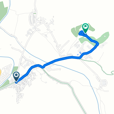
Overview
About this route
1st stage: Albarracín-Peralejos de las Truchas. 72.5 km, 1360 m ascent and 1320 m descent.
2nd stage: Peralejos-Zaorejas: 76.8 km, 990 m ascent and 940 m descent. Total 149.3 km.
3rd stage: Zaorejas-Vega de Codorno: 77.5 km, 1160 m ascent and 1060 m descent.
- -:--
- Duration
- 226.8 km
- Distance
- 2,336 m
- Ascent
- 2,144 m
- Descent
- ---
- Avg. speed
- ---
- Max. altitude

Route quality
Waytypes & surfaces along the route
Waytypes
Road
45.4 km
(20 %)
Track
29.5 km
(13 %)
Surfaces
Paved
117.9 km
(52 %)
Unpaved
24.9 km
(11 %)
Asphalt
117.9 km
(52 %)
Gravel
22.7 km
(10 %)
Continue with Bikemap
Use, edit, or download this cycling route
You would like to ride Montañas vacías or customize it for your own trip? Here is what you can do with this Bikemap route:
Free features
- Save this route as favorite or in collections
- Copy & plan your own version of this route
- Split it into stages to create a multi-day tour
- Sync your route with Garmin or Wahoo
Premium features
Free trial for 3 days, or one-time payment. More about Bikemap Premium.
- Navigate this route on iOS & Android
- Export a GPX / KML file of this route
- Create your custom printout (try it for free)
- Download this route for offline navigation
Discover more Premium features.
Get Bikemap PremiumFrom our community
Other popular routes starting in Albarracín
 Albarracin - Cella - Teruel ( Guadalaviar )
- Distance
- 50.9 km
- Ascent
- 230 m
- Descent
- 480 m
- Location
- Albarracín, Aragon, Spain
 ALBARRACIN - MORA 2
- Distance
- 103.2 km
- Ascent
- 1,153 m
- Descent
- 1,249 m
- Location
- Albarracín, Aragon, Spain
 Albarracin
- Distance
- 184.6 km
- Ascent
- 2,122 m
- Descent
- 2,122 m
- Location
- Albarracín, Aragon, Spain
 Albarracin - Gea - Teruel ( Camino Guadalaviar )
- Distance
- 39.9 km
- Ascent
- 139 m
- Descent
- 418 m
- Location
- Albarracín, Aragon, Spain
 Montañas vacías
- Distance
- 226.8 km
- Ascent
- 2,336 m
- Descent
- 2,144 m
- Location
- Albarracín, Aragon, Spain
 Calle Llano del Arrabal, 24, Albarracín to Calle Camino de Gea, 14, Albarracín
- Distance
- 1.3 km
- Ascent
- 36 m
- Descent
- 0 m
- Location
- Albarracín, Aragon, Spain
 MONTAÑAS VACÍAS. ALBARRACÍN
- Distance
- 298.3 km
- Ascent
- 7,673 m
- Descent
- 7,672 m
- Location
- Albarracín, Aragon, Spain
 Albarracin - Teruel - fàcil
- Distance
- 45.2 km
- Ascent
- 165 m
- Descent
- 403 m
- Location
- Albarracín, Aragon, Spain
Open it in the app