

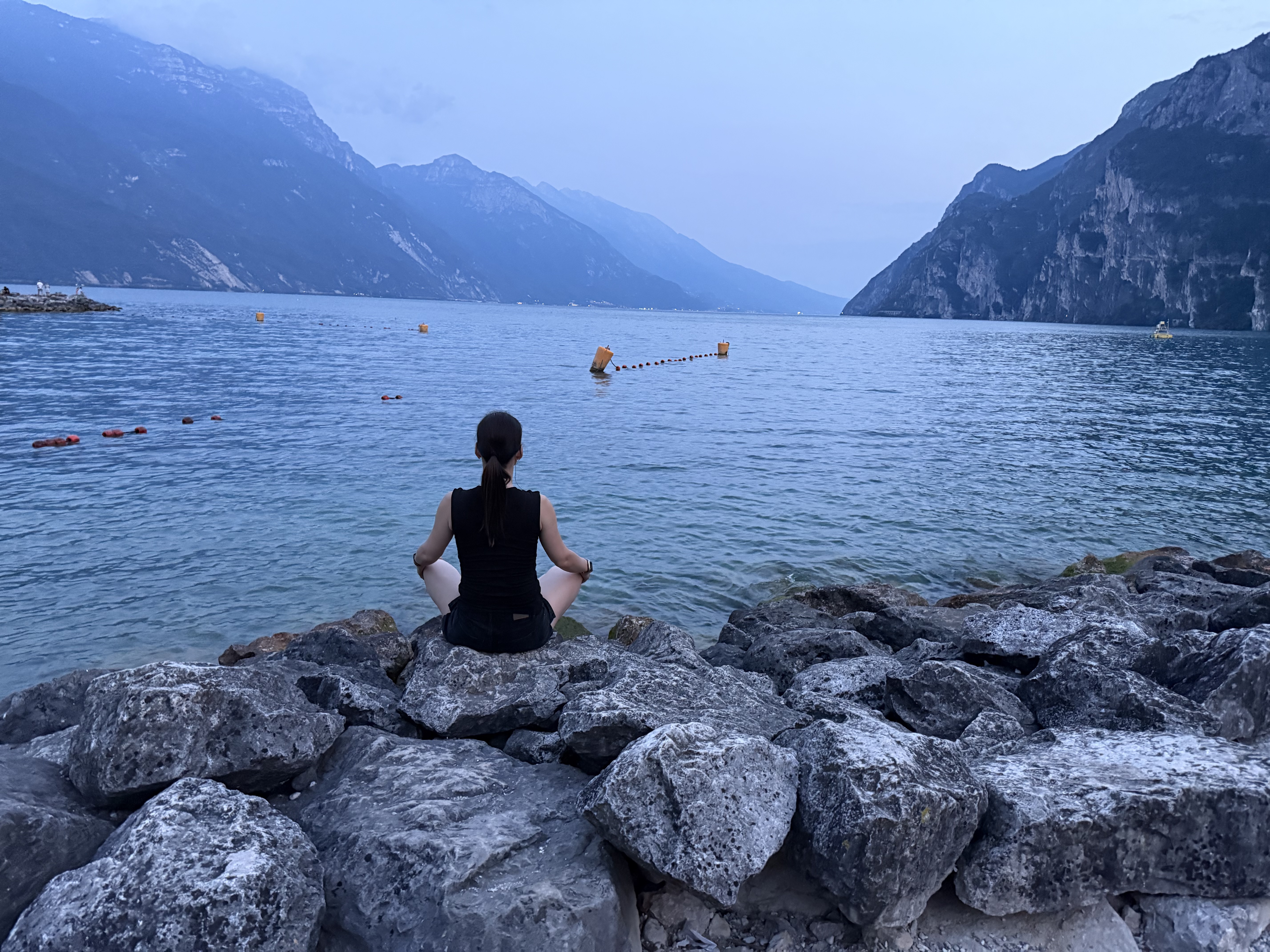
Gardasee 2011 Tag 2
A cycling route starting in Riva del Garda, Trentino-Alto Adige, Italy.
Overview
About this route
From Riva to Passo Guil to Passo Nota, descent to Vesio, back up to Passo Nota via the scenic road to Passo Rocchetta and back to Riva through Pregasina.
Please don’t be discouraged by the elevation, there are a few sections that go through tunnels, where the elevation does indeed increase.In reality, it was about 2300.
- -:--
- Duration
- 55.6 km
- Distance
- 2,670 m
- Ascent
- 2,670 m
- Descent
- ---
- Avg. speed
- ---
- Max. altitude
Continue with Bikemap
Use, edit, or download this cycling route
You would like to ride Gardasee 2011 Tag 2 or customize it for your own trip? Here is what you can do with this Bikemap route:
Free features
- Save this route as favorite or in collections
- Copy & plan your own version of this route
- Sync your route with Garmin or Wahoo
Premium features
Free trial for 3 days, or one-time payment. More about Bikemap Premium.
- Navigate this route on iOS & Android
- Export a GPX / KML file of this route
- Create your custom printout (try it for free)
- Download this route for offline navigation
Discover more Premium features.
Get Bikemap PremiumFrom our community
Other popular routes starting in Riva del Garda
 Gardasee 2011 Tag 2
- Distance
- 55.6 km
- Ascent
- 2,670 m
- Descent
- 2,670 m
- Location
- Riva del Garda, Trentino-Alto Adige, Italy
 Adrenalino
- Distance
- 19.5 km
- Ascent
- 664 m
- Descent
- 664 m
- Location
- Riva del Garda, Trentino-Alto Adige, Italy
 Giardini Giuseppe Verdi, Riva del Garda až Viale Rovereto, Arco
- Distance
- 3.3 km
- Ascent
- 21 m
- Descent
- 13 m
- Location
- Riva del Garda, Trentino-Alto Adige, Italy
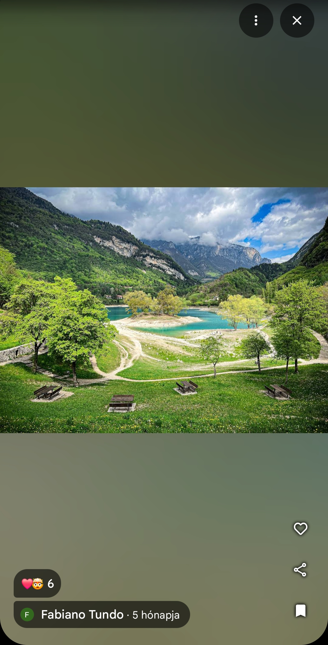 Lago di Tenno
- Distance
- 12.1 km
- Ascent
- 689 m
- Descent
- 111 m
- Location
- Riva del Garda, Trentino-Alto Adige, Italy
 Riva del Garda - Lago di Toblino
- Distance
- 52.9 km
- Ascent
- 246 m
- Descent
- 245 m
- Location
- Riva del Garda, Trentino-Alto Adige, Italy
 Garda Sporting Club 1 (test)
- Distance
- 27.7 km
- Ascent
- 1,120 m
- Descent
- 1,120 m
- Location
- Riva del Garda, Trentino-Alto Adige, Italy
 Riva del Garda - Lago di Tenno
- Distance
- 23.7 km
- Ascent
- 529 m
- Descent
- 530 m
- Location
- Riva del Garda, Trentino-Alto Adige, Italy
 2010 05 09 Gardasee
- Distance
- 36.4 km
- Ascent
- 1,989 m
- Descent
- 1,989 m
- Location
- Riva del Garda, Trentino-Alto Adige, Italy
Open it in the app