
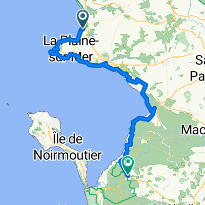
De Chemin du Bréneau, Saint-Brevin-les-Pins à 16 Avenue de la Botte, La Plaine-sur-Mer
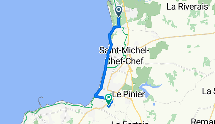
A cycling route starting in Saint-Michel-Chef-Chef, Pays de la Loire Region, France.
Overview
About this route
- 47 min
- Duration
- 7.1 km
- Distance
- 4 m
- Ascent
- 17 m
- Descent
- 9.1 km/h
- Avg. speed
- ---
- Max. altitude

Route photos

Route quality
Waytypes & surfaces along the route
Waytypes
Road
3.1 km
(43 %)
Quiet road
2.5 km
(35 %)
Surfaces
Paved
3.9 km
(55 %)
Unpaved
0.9 km
(13 %)
Asphalt
3.9 km
(55 %)
Loose gravel
0.6 km
(9 %)
Continue with Bikemap
Use, edit, or download this cycling route
You would like to ride De Chemin du Bréneau, Saint-Brevin-les-Pins à 16 Avenue de la Botte, La Plaine-sur-Mer or customize it for your own trip? Here is what you can do with this Bikemap route:
Free features
- Save this route as favorite or in collections
- Copy & plan your own version of this route
- Sync your route with Garmin or Wahoo
Premium features
Free trial for 3 days, or one-time payment. More about Bikemap Premium.
- Navigate this route on iOS & Android
- Export a GPX / KML file of this route
- Create your custom printout (try it for free)
- Download this route for offline navigation
Discover more Premium features.
Get Bikemap PremiumFrom our community
Other popular routes starting in Saint-Michel-Chef-Chef
 Marty - Day 5
- Distance
- 85.3 km
- Ascent
- 285 m
- Descent
- 301 m
- Location
- Saint-Michel-Chef-Chef, Pays de la Loire Region, France
 40 Rue de Tharon, Saint-Michel-Chef-Chef à 8 Rue du Bel Essor, Saint-Michel-Chef-Chef
- Distance
- 33.7 km
- Ascent
- 221 m
- Descent
- 220 m
- Location
- Saint-Michel-Chef-Chef, Pays de la Loire Region, France
 Saint-Brevin / Saint-Hilaire de Riez
- Distance
- 130.7 km
- Ascent
- 395 m
- Descent
- 412 m
- Location
- Saint-Michel-Chef-Chef, Pays de la Loire Region, France
 Atlantikroute - Etappe 2
- Distance
- 44.9 km
- Ascent
- 160 m
- Descent
- 160 m
- Location
- Saint-Michel-Chef-Chef, Pays de la Loire Region, France
 Voyage rapide St Michel - Préfailles
- Distance
- 8.8 km
- Ascent
- 52 m
- Descent
- 53 m
- Location
- Saint-Michel-Chef-Chef, Pays de la Loire Region, France
 Von Saint-Michel-Chef-Chef bis Beauvoir-sur-Mer
- Distance
- 66.2 km
- Ascent
- 276 m
- Descent
- 293 m
- Location
- Saint-Michel-Chef-Chef, Pays de la Loire Region, France
 Itinéraire modéré en Pornic
- Distance
- 11.1 km
- Ascent
- 76 m
- Descent
- 87 m
- Location
- Saint-Michel-Chef-Chef, Pays de la Loire Region, France
 De Chemin du Bréneau, Saint-Brevin-les-Pins à 16 Avenue de la Botte, La Plaine-sur-Mer
- Distance
- 7.1 km
- Ascent
- 4 m
- Descent
- 17 m
- Location
- Saint-Michel-Chef-Chef, Pays de la Loire Region, France
Open it in the app