TDP - ETAPE 11
- 68.3 km
- 1,865 m
- 1,168 m
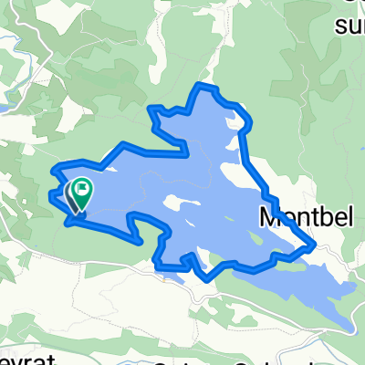
- Chalabre, Occitanie, France
A cycling route starting in Chalabre, Occitanie, France.
Overview
School run with a Campsylvestre climb and descent via Le Blau for the return.
created this 4 years ago
Route quality
Track
11.1 km
(56 %)
Access road
5.2 km
(26 %)
Paved
1 km
(5 %)
Unpaved
10.7 km
(54 %)
Gravel
8.2 km
(41 %)
Unpaved (undefined)
1.6 km
(8 %)
Continue with Bikemap
You would like to ride Chateau-Campsylvestre Loop or customize it for your own trip? Here is what you can do with this Bikemap route:
Free trial for 3 days, or one-time payment. More about Bikemap Premium.
Discover more Premium features.
Get Bikemap PremiumFrom our community
Open it in the app