

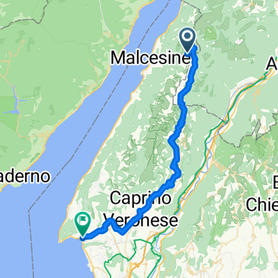
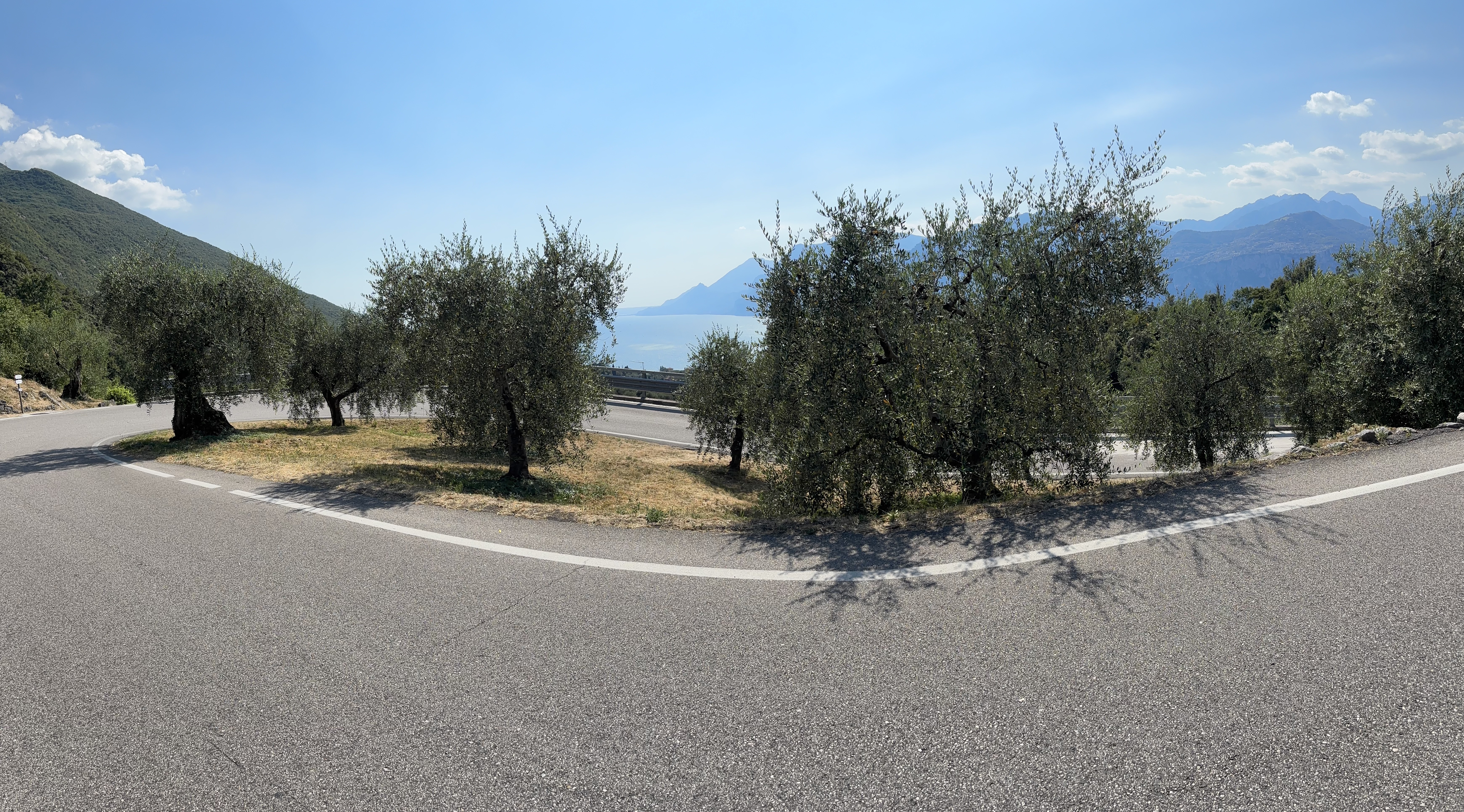
Malcesine - Monti - Malcesine
A cycling route starting in Malcesine, Veneto, Italy.
Overview
About this route
- -:--
- Duration
- 11.5 km
- Distance
- 398 m
- Ascent
- 398 m
- Descent
- ---
- Avg. speed
- ---
- Max. altitude
Continue with Bikemap
Use, edit, or download this cycling route
You would like to ride Malcesine - Monti - Malcesine or customize it for your own trip? Here is what you can do with this Bikemap route:
Free features
- Save this route as favorite or in collections
- Copy & plan your own version of this route
- Sync your route with Garmin or Wahoo
Premium features
Free trial for 3 days, or one-time payment. More about Bikemap Premium.
- Navigate this route on iOS & Android
- Export a GPX / KML file of this route
- Create your custom printout (try it for free)
- Download this route for offline navigation
Discover more Premium features.
Get Bikemap PremiumFrom our community
Other popular routes starting in Malcesine
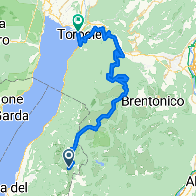
 Malcesine - Monte Baldo - Rif. Graziani - Brentonico - Castione - Nago - Torbole - Malcesine
- Distance
- 52.4 km
- Ascent
- 301 m
- Descent
- 1,956 m
- Location
- Malcesine, Veneto, Italy
 Etappe 6 Malcesine - Verona
- Distance
- 61.1 km
- Ascent
- 513 m
- Descent
- 808 m
- Location
- Malcesine, Veneto, Italy
 San Maggiore
- Distance
- 15.9 km
- Ascent
- 520 m
- Descent
- 515 m
- Location
- Malcesine, Veneto, Italy
 Monte Baldo - Garda
- Distance
- 43.5 km
- Ascent
- 689 m
- Descent
- 2,353 m
- Location
- Malcesine, Veneto, Italy
 Malcesine nach campagnola
- Distance
- 3.3 km
- Ascent
- 11 m
- Descent
- 41 m
- Location
- Malcesine, Veneto, Italy
 Monte Baldo
- Distance
- 112.9 km
- Ascent
- 1,895 m
- Descent
- 1,895 m
- Location
- Malcesine, Veneto, Italy
 Monte Baldo
- Distance
- 31.4 km
- Ascent
- 616 m
- Descent
- 2,288 m
- Location
- Malcesine, Veneto, Italy
 Via Panoramica, Malcesine nach Via Panoramica, Malcesine
- Distance
- 12.1 km
- Ascent
- 330 m
- Descent
- 325 m
- Location
- Malcesine, Veneto, Italy
Open it in the app