
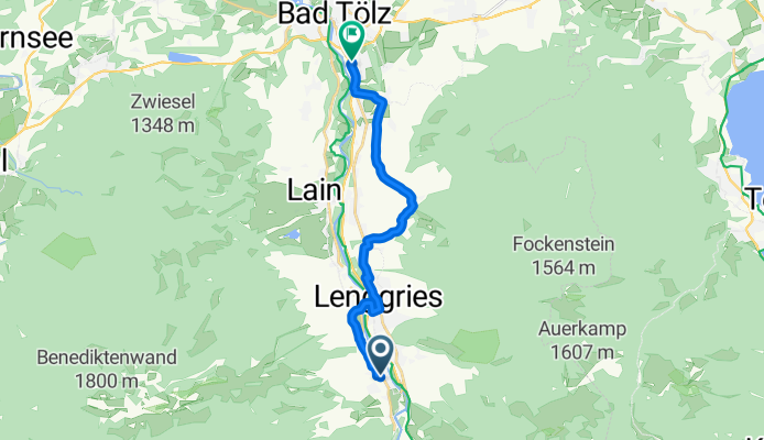
Jachenauer Straße 62, Lenggries nach Demmeljochstraße 54, Bad Tölz
A cycling route starting in Lenggries, Bavaria, Germany.
Overview
About this route
- 48 min
- Duration
- 14.1 km
- Distance
- 86 m
- Ascent
- 120 m
- Descent
- 17.7 km/h
- Avg. speed
- ---
- Max. altitude
Route quality
Waytypes & surfaces along the route
Waytypes
Quiet road
7.2 km
(51 %)
Busy road
2.5 km
(18 %)
Surfaces
Paved
10.4 km
(74 %)
Unpaved
1.8 km
(13 %)
Asphalt
10.3 km
(73 %)
Gravel
1.7 km
(12 %)
Continue with Bikemap
Use, edit, or download this cycling route
You would like to ride Jachenauer Straße 62, Lenggries nach Demmeljochstraße 54, Bad Tölz or customize it for your own trip? Here is what you can do with this Bikemap route:
Free features
- Save this route as favorite or in collections
- Copy & plan your own version of this route
- Sync your route with Garmin or Wahoo
Premium features
Free trial for 3 days, or one-time payment. More about Bikemap Premium.
- Navigate this route on iOS & Android
- Export a GPX / KML file of this route
- Create your custom printout (try it for free)
- Download this route for offline navigation
Discover more Premium features.
Get Bikemap PremiumFrom our community
Other popular routes starting in Lenggries
 Tour 27 Wild Wild West
- Distance
- 46.9 km
- Ascent
- 1,191 m
- Descent
- 1,191 m
- Location
- Lenggries, Bavaria, Germany
 Lenggries - Seekarkreuz -Schwarze Tenn - Glashütte - Lenggries
- Distance
- 36 km
- Ascent
- 1,180 m
- Descent
- 1,180 m
- Location
- Lenggries, Bavaria, Germany
 An der Benewand entlang
- Distance
- 41.4 km
- Ascent
- 900 m
- Descent
- 908 m
- Location
- Lenggries, Bavaria, Germany
 Ronda Isaria - 2. Hälfte
- Distance
- 56.1 km
- Ascent
- 1,182 m
- Descent
- 1,217 m
- Location
- Lenggries, Bavaria, Germany
 Obergries - Aueralm - Obergries
- Distance
- 40.5 km
- Ascent
- 877 m
- Descent
- 875 m
- Location
- Lenggries, Bavaria, Germany
 Kesselbergrunde-98-800
- Distance
- 97.6 km
- Ascent
- 1,236 m
- Descent
- 1,237 m
- Location
- Lenggries, Bavaria, Germany
 Um den Walchensee 65-400
- Distance
- 65.1 km
- Ascent
- 994 m
- Descent
- 1,013 m
- Location
- Lenggries, Bavaria, Germany
 Von Lenggries auf den Brauneck
- Distance
- 14.2 km
- Ascent
- 816 m
- Descent
- 813 m
- Location
- Lenggries, Bavaria, Germany
Open it in the app