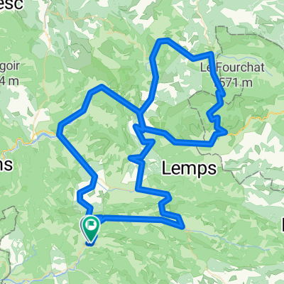
CTD-2018-Ventoux 1B
- 93.2 km
- 1,916 m
- 1,878 m
- Buis-les-Baronnies, Auvergne-Rhône-Alpes, France
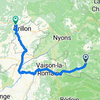
sainte Jalle 2020
A cycling route starting in Buis-les-Baronnies, Auvergne-Rhône-Alpes, France.
Overview
warm, wind from the northwest, at the back from Bouvieres, unfortunately absent on the climb to Souyberon
created this 4 years ago
Part of
3 stages
Route quality
Road
16.9 km
(23 %)
Quiet road
3.7 km
(5 %)
Paved
29.3 km
(40 %)
Asphalt
29.3 km
(40 %)
Undefined
44 km
(60 %)
Continue with Bikemap
You would like to ride 04.06.21 Sonntagstour nach Bouvieres or customize it for your own trip? Here is what you can do with this Bikemap route:
Free trial for 3 days, or one-time payment. More about Bikemap Premium.
Discover more Premium features.
Get Bikemap PremiumFrom our community
Open it in the app