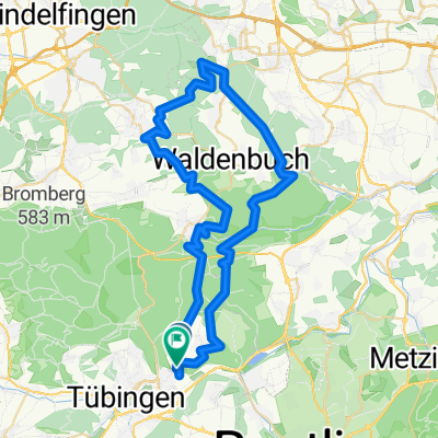
Von Tübingen bis Dettenhausen
- 60.1 km
- 1,229 m
- 1,253 m
- Kusterdingen, Baden-Wurttemberg, Germany
A cycling route starting in Kusterdingen, Baden-Wurttemberg, Germany.
Overview
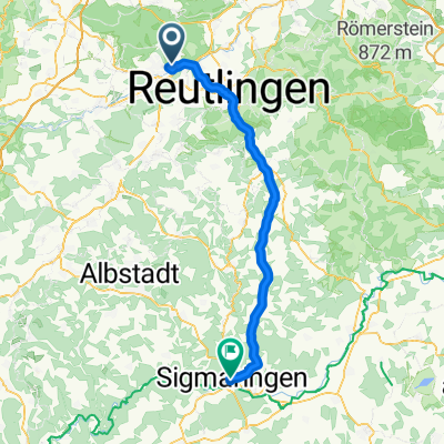
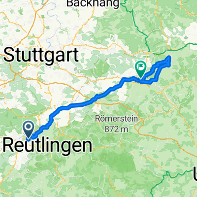
Tübingen, Neuhausen an der Erms, Danube, Altmühl, Main-Danube Canal, Regnitz, Main, Tauber, Neckar, Tübingen
As of 09.06.21
created this 4 years ago
Route quality
Track
246.5 km
(29 %)
Path
187 km
(22 %)
Paved
680 km
(80 %)
Unpaved
102 km
(12 %)
Asphalt
654.5 km
(77 %)
Gravel
68 km
(8 %)
Continue with Bikemap
You would like to ride ETT 2022 Flusstour Tübingen Tübingen or customize it for your own trip? Here is what you can do with this Bikemap route:
Free trial for 3 days, or one-time payment. More about Bikemap Premium.
Discover more Premium features.
Get Bikemap PremiumFrom our community
Open it in the app