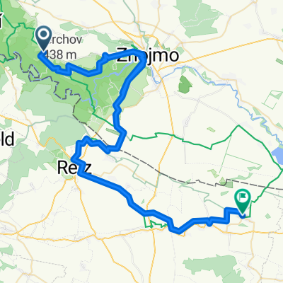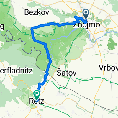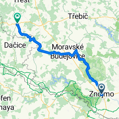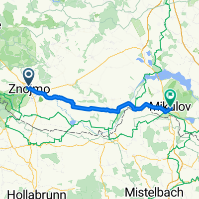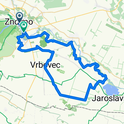
Route in Znaim
- 49 km
- 716 m
- 742 m
- Znojmo, South Moravian, Czechia
A cycling route starting in Znojmo, South Moravian, Czechia.
Overview
created this 14 years ago
Route quality
Road
27.3 km
(29 %)
Track
14.1 km
(15 %)
Paved
48.1 km
(51 %)
Unpaved
2.8 km
(3 %)
Asphalt
46.2 km
(49 %)
Paved (undefined)
1.9 km
(2 %)
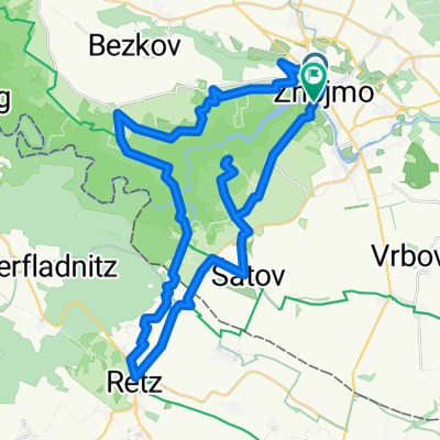
Route highlights

http://www.penzion-ubytovani-lednice.cz/
Continue with Bikemap
You would like to ride 25.6. Znojmo-Lednice or customize it for your own trip? Here is what you can do with this Bikemap route:
Free trial for 3 days, or one-time payment. More about Bikemap Premium.
Discover more Premium features.
Get Bikemap PremiumFrom our community
Open it in the app