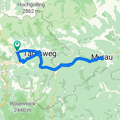


Mauterndorf - Weißpriach - Granglerhütte und retour
- 40.6 km
- 723 m
- 723 m
- Mauterndorf, Salzburg, Austria
A cycling route starting in Mauterndorf, Salzburg, Austria.
Overview
17.06.2021
created this 4 years ago
Continue with Bikemap
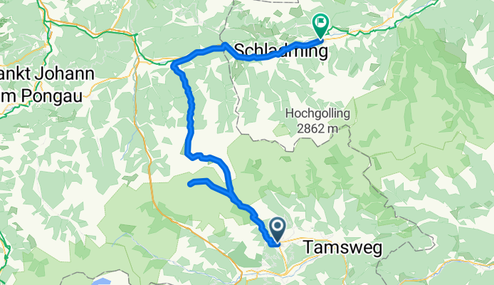
You would like to ride 2021_Mauterndorf-Lantschfeldhütte-Obertauern-Schladming or customize it for your own trip? Here is what you can do with this Bikemap route:
Free trial for 3 days, or one-time payment. More about Bikemap Premium.
Discover more Premium features.
Get Bikemap PremiumFrom our community
Open it in the app