

Allgäu-Günz Bahndamm Ottobeuren - Runde
A cycling route starting in Westerheim, Bavaria, Germany.
Overview
About this route
- -:--
- Duration
- 28.1 km
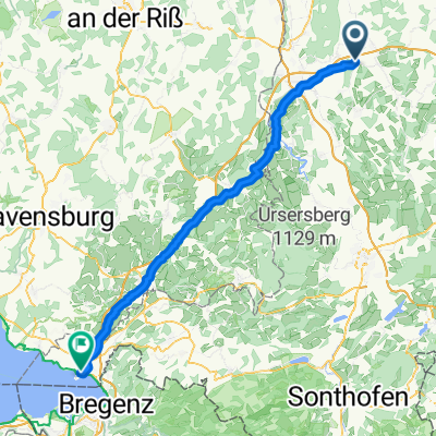
- Distance
- 297 m
- Ascent
- 293 m
- Descent
- ---
- Avg. speed
- ---
- Max. altitude
Route quality
Waytypes & surfaces along the route
Waytypes
Path
16 km
(57 %)
Track
5.1 km
(18 %)
Surfaces
Paved
26.4 km
(94 %)
Unpaved
1.4 km
(5 %)
Asphalt
24.7 km
(88 %)
Paved (undefined)
1.7 km
(6 %)
Continue with Bikemap
Use, edit, or download this cycling route
You would like to ride Allgäu-Günz Bahndamm Ottobeuren - Runde or customize it for your own trip? Here is what you can do with this Bikemap route:
Free features
- Save this route as favorite or in collections
- Copy & plan your own version of this route
- Sync your route with Garmin or Wahoo
Premium features
Free trial for 3 days, or one-time payment. More about Bikemap Premium.
- Navigate this route on iOS & Android
- Export a GPX / KML file of this route
- Create your custom printout (try it for free)
- Download this route for offline navigation
Discover more Premium features.
Get Bikemap PremiumFrom our community
Other popular routes starting in Westerheim
 Bfällmühle
- Distance
- 27.3 km
- Ascent
- 320 m
- Descent
- 146 m
- Location
- Westerheim, Bavaria, Germany
 Liebentann mühle
- Distance
- 49.4 km
- Ascent
- 306 m
- Descent
- 302 m
- Location
- Westerheim, Bavaria, Germany
 Westerheim - Lindau
- Distance
- 80.7 km
- Ascent
- 675 m
- Descent
- 872 m
- Location
- Westerheim, Bavaria, Germany
 Große Runde rechts
- Distance
- 43.7 km
- Ascent
- 327 m
- Descent
- 325 m
- Location
- Westerheim, Bavaria, Germany
 Sontheimer Straße 8B, Westerheim nach Gartenstraße 4, Westerheim
- Distance
- 5.1 km
- Ascent
- 20 m
- Descent
- 42 m
- Location
- Westerheim, Bavaria, Germany
 Bedernau Naturtherme
- Distance
- 31.9 km
- Ascent
- 239 m
- Descent
- 239 m
- Location
- Westerheim, Bavaria, Germany
 Westerheim - Ronsberg - Wildpoldsried - Börwang - Ottobeuren - Westerheim
- Distance
- 74.7 km
- Ascent
- 351 m
- Descent
- 349 m
- Location
- Westerheim, Bavaria, Germany
 Allgäu-Günz Bahndamm Ottobeuren - Runde
- Distance
- 28.1 km
- Ascent
- 297 m
- Descent
- 293 m
- Location
- Westerheim, Bavaria, Germany
Open it in the app