
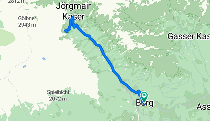
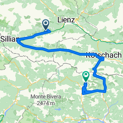
Burg - Gölbnerblickhütte
A cycling route starting in Anras, Tyrol, Austria.
Overview
About this route
- 2 h 15 min
- Duration
- 17.1 km
- Distance
- 556 m
- Ascent
- 541 m
- Descent
- 7.6 km/h
- Avg. speed
- ---
- Max. altitude

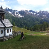
Route photos


Route quality
Waytypes & surfaces along the route
Waytypes
Track
13.5 km
(79 %)
Road
3.4 km
(20 %)
Quiet road
0.2 km
(1 %)
Surfaces
Unpaved
13.3 km
(78 %)
Gravel
12.8 km
(75 %)
Ground
0.5 km
(3 %)
Undefined
3.8 km
(22 %)
Continue with Bikemap
Use, edit, or download this cycling route
You would like to ride Burg - Gölbnerblickhütte or customize it for your own trip? Here is what you can do with this Bikemap route:
Free features
- Save this route as favorite or in collections
- Copy & plan your own version of this route
- Sync your route with Garmin or Wahoo
Premium features
Free trial for 3 days, or one-time payment. More about Bikemap Premium.
- Navigate this route on iOS & Android
- Export a GPX / KML file of this route
- Create your custom printout (try it for free)
- Download this route for offline navigation
Discover more Premium features.
Get Bikemap PremiumFrom our community
Other popular routes starting in Anras
 Mittewald 156, Mittewald an der Drau nach Mittewald 154, Mittewald an der Drau
- Distance
- 37.5 km
- Ascent
- 2,346 m
- Descent
- 2,340 m
- Location
- Anras, Tyrol, Austria
 RBRrower-dzien 6-03.08.16
- Distance
- 161.8 km
- Ascent
- 451 m
- Descent
- 1,057 m
- Location
- Anras, Tyrol, Austria
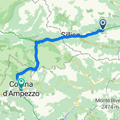 7. Etappe_Mittenwald an der Drau-Cortina d'Ampezzo
- Distance
- 62.8 km
- Ascent
- 671 m
- Descent
- 326 m
- Location
- Anras, Tyrol, Austria
 Anras - Nikolsdorf
- Distance
- 26.9 km
- Ascent
- 277 m
- Descent
- 459 m
- Location
- Anras, Tyrol, Austria
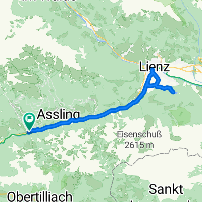
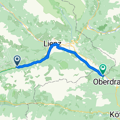
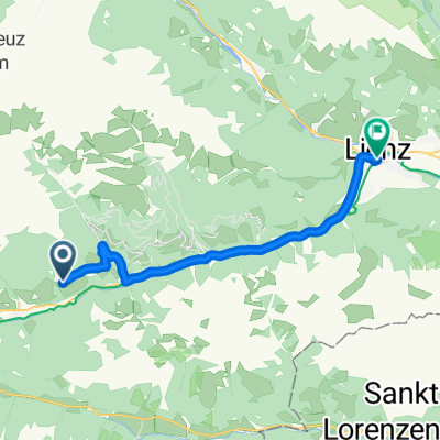 10/08 Anras - Lienz
- Distance
- 22.2 km
- Ascent
- 99 m
- Descent
- 661 m
- Location
- Anras, Tyrol, Austria
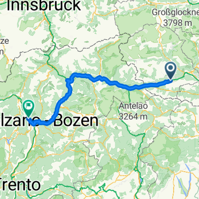
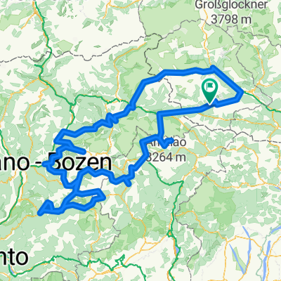 7 Alpentour gesamt
- Distance
- 545.8 km
- Ascent
- 7,924 m
- Descent
- 7,988 m
- Location
- Anras, Tyrol, Austria
 Assling - Monte Crostis 155km
- Distance
- 155.3 km
- Ascent
- 3,795 m
- Descent
- 2,939 m
- Location
- Anras, Tyrol, Austria
 Burg - Gölbnerblickhütte
- Distance
- 17.1 km
- Ascent
- 556 m
- Descent
- 541 m
- Location
- Anras, Tyrol, Austria
Open it in the app