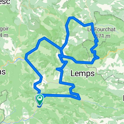
quäldich.de - Provence (Mai), E1 - Rund um den Mont Ventoux
- 119 km
- 1,101 m
- 1,100 m
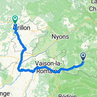
- Buis-les-Baronnies, Auvergne-Rhône-Alpes, France
sainte Salle 2021
A cycling route starting in Buis-les-Baronnies, Auvergne-Rhône-Alpes, France.
Overview
shift, brake, shift; turn, dodge, stand up; climb hills, take corners....
created this 4 years ago
Part of
6 stages
Route quality
Road
2.9 km
(7 %)
Quiet road
2.1 km
(5 %)
Paved
17.6 km
(42 %)
Asphalt
17.6 km
(42 %)
Undefined
24.4 km
(58 %)
Continue with Bikemap
You would like to ride 12.06.21 Erste Tour mit Lore auf dem Cube-Rad von Kerstin or customize it for your own trip? Here is what you can do with this Bikemap route:
Free trial for 3 days, or one-time payment. More about Bikemap Premium.
Discover more Premium features.
Get Bikemap PremiumFrom our community
Open it in the app