
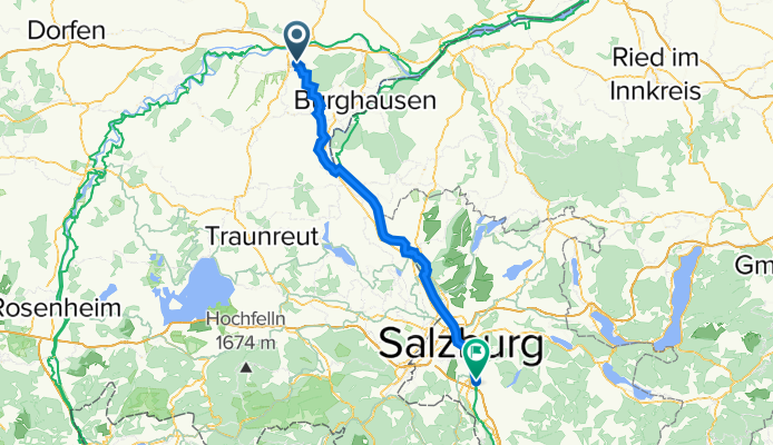
10. Etappe: Altötting - Salzburg-Elsbethen
A cycling route starting in Altötting, Bavaria, Germany.
Overview
About this route
Diese Route (10. Etappe der Radtour Köln-Porz - Aich im Ennstal) führt von Altötting durch hügeliges Gelände zur österreichischen Grenze in Tittmoning und dann immer entlang des Tauernradweges vorbei an Laufen, Oberndorf und Salzburg. Diese Strecke ist landschaftlich sehr schön und phantastisch mit dem Tourenbike zu radeln.
- -:--
- Duration
- 73.2 km
- Distance
- 216 m
- Ascent
- 185 m
- Descent
- ---
- Avg. speed
- 496 m
- Max. altitude
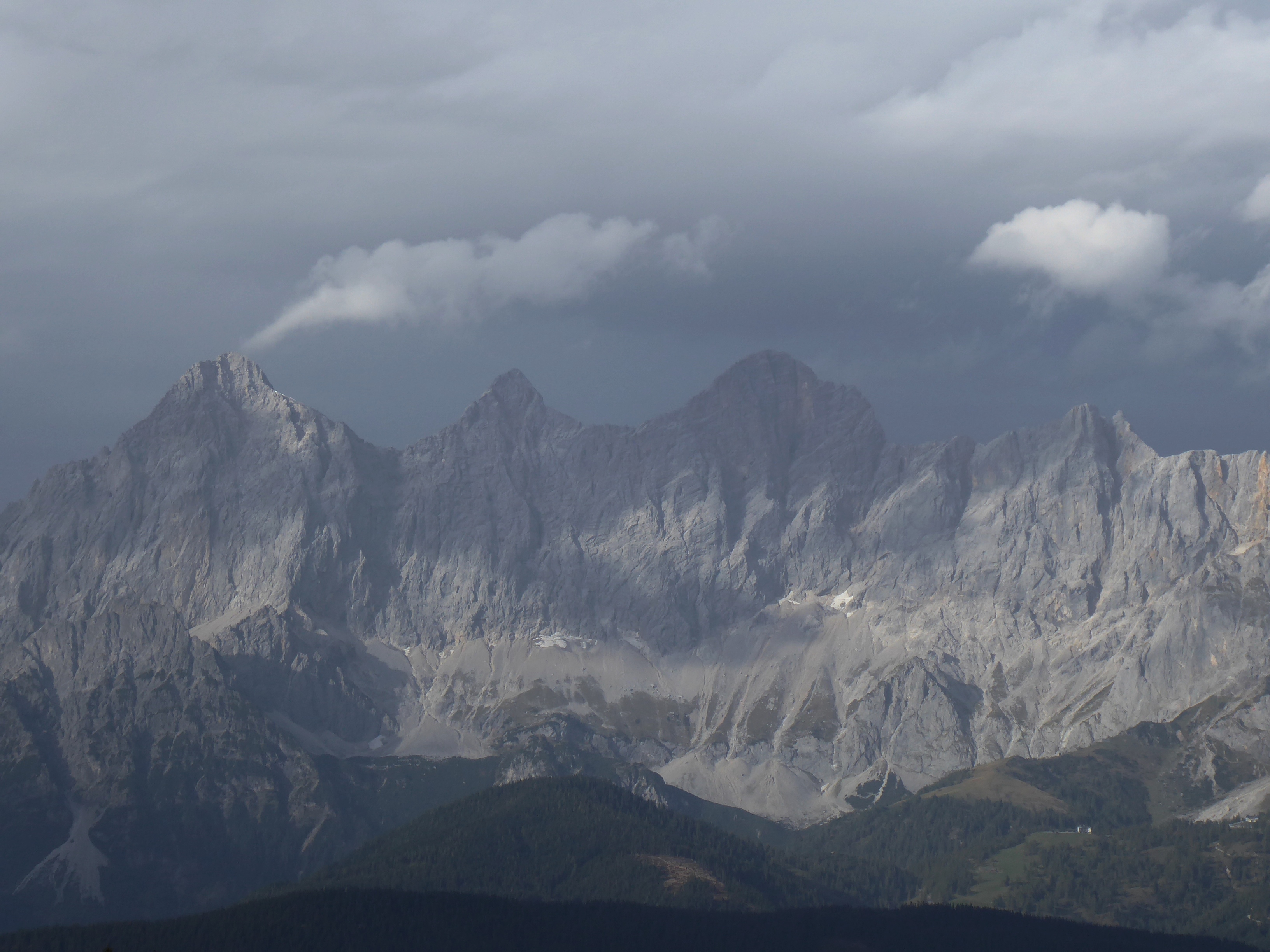
Route photos


Route quality
Waytypes & surfaces along the route
Waytypes
Quiet road
20.2 km
(28 %)
Track
19.2 km
(26 %)
Surfaces
Paved
53.6 km
(73 %)
Unpaved
16.7 km
(23 %)
Asphalt
46.5 km
(64 %)
Gravel
11.8 km
(16 %)
Continue with Bikemap
Use, edit, or download this cycling route
You would like to ride 10. Etappe: Altötting - Salzburg-Elsbethen or customize it for your own trip? Here is what you can do with this Bikemap route:
Free features
- Save this route as favorite or in collections
- Copy & plan your own version of this route
- Sync your route with Garmin or Wahoo
Premium features
Free trial for 3 days, or one-time payment. More about Bikemap Premium.
- Navigate this route on iOS & Android
- Export a GPX / KML file of this route
- Create your custom printout (try it for free)
- Download this route for offline navigation
Discover more Premium features.
Get Bikemap PremiumFrom our community
Other popular routes starting in Altötting
 Teil_7_Altötting-Wörth_an_der_Isar
- Distance
- 69.4 km
- Ascent
- 324 m
- Descent
- 359 m
- Location
- Altötting, Bavaria, Germany
 Altötting - Waldkraiburg - Altötting
- Distance
- 60.9 km
- Ascent
- 201 m
- Descent
- 202 m
- Location
- Altötting, Bavaria, Germany
 Altötting-Winhöring-Reischach-Perach-Altötting
- Distance
- 36.9 km
- Ascent
- 268 m
- Descent
- 269 m
- Location
- Altötting, Bavaria, Germany
 Radl Via Maria 1. Etappe
- Distance
- 97.8 km
- Ascent
- 463 m
- Descent
- 391 m
- Location
- Altötting, Bavaria, Germany
 Ausweichroute des 1.Altöttinger Radltags (Wetterbedingt)
- Distance
- 31.1 km
- Ascent
- 149 m
- Descent
- 150 m
- Location
- Altötting, Bavaria, Germany
 Altötting-Mühldorf-Polling_tüssling-Altötting
- Distance
- 34.6 km
- Ascent
- 133 m
- Descent
- 139 m
- Location
- Altötting, Bavaria, Germany
 AÖ - Winhöring - Mühldorf - Unterneukirchen - AÖ
- Distance
- 52.1 km
- Ascent
- 215 m
- Descent
- 214 m
- Location
- Altötting, Bavaria, Germany
 Altötting-Burghausen-Marktl-Neuötting-Altötting
- Distance
- 43.2 km
- Ascent
- 144 m
- Descent
- 144 m
- Location
- Altötting, Bavaria, Germany
Open it in the app