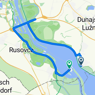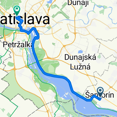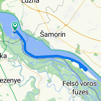
Šamorín_ Vojka nad Dunajom_Šamorín
- 46.2 km
- 51 m
- 49 m
- Šamorín, Trnava Region, Slovakia
A cycling route starting in Šamorín, Trnava Region, Slovakia.
Overview
created this 4 years ago
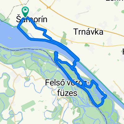
Route quality
Cycleway
23.7 km
(75 %)
Quiet road
4.1 km
(13 %)
Paved
29.7 km
(94 %)
Unpaved
0.6 km
(2 %)
Asphalt
29.1 km
(92 %)
Concrete
0.6 km
(2 %)
Continue with Bikemap
You would like to ride Skolsky vylet or customize it for your own trip? Here is what you can do with this Bikemap route:
Free trial for 3 days, or one-time payment. More about Bikemap Premium.
Discover more Premium features.
Get Bikemap PremiumFrom our community
Open it in the app