

Véloroute voie verte de la Vallée de l'Isle
A cycling route starting in Ménesplet, Nouvelle-Aquitaine, France.
Overview
About this route
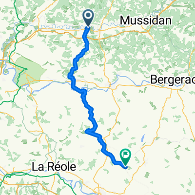
Come and discover the Isle Valley greenway cycling route! On foot, by bike, or on rollerblades, you can admire the Isle River winding through the valley, enjoy the view from the majestic footbridges spanning the river, and take a break at the many rest areas. Following the small green signs, you will discover stunning landscapes, natural habitats, historical sites (castles, charterhouses, churches, abbeys, cathedral), industrial heritage (mills, canals, lime quarries, Beauronne land) and famous spots of Périgord gastronomy (restaurants and producers of caviar, trout, rusks, foie gras, walnut oil, Périgord cabécou, honey, saffron, farm-made ice cream, vegetables...). This route alternates between greenways (on dedicated paths) and low-traffic roads (shared routes).
- -:--
- Duration
- 683.2 km
- Distance
- 665 m
- Ascent
- 616 m
- Descent
- ---
- Avg. speed
- ---
- Max. altitude

Continue with Bikemap
Use, edit, or download this cycling route
You would like to ride Véloroute voie verte de la Vallée de l'Isle or customize it for your own trip? Here is what you can do with this Bikemap route:
Free features
- Save this route as favorite or in collections
- Copy & plan your own version of this route
- Split it into stages to create a multi-day tour
- Sync your route with Garmin or Wahoo
Premium features
Free trial for 3 days, or one-time payment. More about Bikemap Premium.
- Navigate this route on iOS & Android
- Export a GPX / KML file of this route
- Create your custom printout (try it for free)
- Download this route for offline navigation
Discover more Premium features.
Get Bikemap PremiumFrom our community
Other popular routes starting in Ménesplet
 Eygurande-et-Gardedeuil - Saint-Michel-de-Montaigne - Eygurande-et-Gardedeuil
- Distance
- 81.7 km
- Ascent
- 927 m
- Descent
- 928 m
- Location
- Ménesplet, Nouvelle-Aquitaine, France
 Ménesplet - Miramont-de-Guyenne
- Distance
- 76.2 km
- Ascent
- 826 m
- Descent
- 732 m
- Location
- Ménesplet, Nouvelle-Aquitaine, France
 Quick bike tour through Montpon-Ménestérol
- Distance
- 0.3 km
- Ascent
- 0 m
- Descent
- 0 m
- Location
- Ménesplet, Nouvelle-Aquitaine, France
 Véloroute voie verte de la Vallée de l'Isle
- Distance
- 683.2 km
- Ascent
- 665 m
- Descent
- 616 m
- Location
- Ménesplet, Nouvelle-Aquitaine, France
Open it in the app