

Mühlheim, Flörsbachtal, Mühlheim
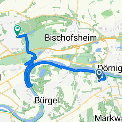
A cycling route starting in Mühlheim am Main, Hesse, Germany.
Overview
About this route
Flat route to Bad Orb, then hilly with ups and downs to Wiesen, then a great descent to Sommerkahl, via Schöllkrippen, Alzenau, Auheim back
- -:--
- Duration
- 119.6 km
- Distance
- 561 m
- Ascent
- 561 m
- Descent
- ---
- Avg. speed
- ---
- Max. altitude
Continue with Bikemap
Use, edit, or download this cycling route
You would like to ride Mühlheim, Flörsbachtal, Mühlheim or customize it for your own trip? Here is what you can do with this Bikemap route:
Free features
- Save this route as favorite or in collections
- Copy & plan your own version of this route
- Split it into stages to create a multi-day tour
- Sync your route with Garmin or Wahoo
Premium features
Free trial for 3 days, or one-time payment. More about Bikemap Premium.
- Navigate this route on iOS & Android
- Export a GPX / KML file of this route
- Create your custom printout (try it for free)
- Download this route for offline navigation
Discover more Premium features.
Get Bikemap PremiumFrom our community
Other popular routes starting in Mühlheim am Main
 Mühlheim - Wilhelmsbad - Hohe Strasse - Frankfurt - Fechenheim - Mühlheim
- Distance
- 32.8 km
- Ascent
- 162 m
- Descent
- 162 m
- Location
- Mühlheim am Main, Hesse, Germany
 Von Mühlheim am Main bis Frankfurt am Main
- Distance
- 11.2 km
- Ascent
- 14 m
- Descent
- 13 m
- Location
- Mühlheim am Main, Hesse, Germany
 Route im Schneckentempo in Offenbach am Main
- Distance
- 3.8 km
- Ascent
- 4 m
- Descent
- 8 m
- Location
- Mühlheim am Main, Hesse, Germany
 Rundfahrt Mühlheim - Dietzenbach und zurück
- Distance
- 39 km
- Ascent
- 124 m
- Descent
- 127 m
- Location
- Mühlheim am Main, Hesse, Germany
 kleine Wetteraurunde
- Distance
- 61.2 km
- Ascent
- 304 m
- Descent
- 308 m
- Location
- Mühlheim am Main, Hesse, Germany
 Von Mühlheim am Main bis Heusenstamm
- Distance
- 8 km
- Ascent
- 48 m
- Descent
- 23 m
- Location
- Mühlheim am Main, Hesse, Germany
 15.07.30 Dietersheim-Aschaffenburg
- Distance
- 50.1 km
- Ascent
- 243 m
- Descent
- 87 m
- Location
- Mühlheim am Main, Hesse, Germany
 Maintal zur Ronneburg und zurück
- Distance
- 69.1 km
- Ascent
- 339 m
- Descent
- 338 m
- Location
- Mühlheim am Main, Hesse, Germany
Open it in the app