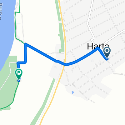
Útvonal ide Dunapataj
- 13.2 km
- 4 m
- 6 m
- Harta, Bács-Kiskun county, Hungary
A cycling route starting in Harta, Bács-Kiskun county, Hungary.
Overview
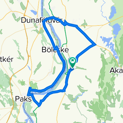
Map Duna Part Kilátóhely - Dunapataj - Szelidi Lake, Castle Street
Route quality
Cycleway
7.6 km
(60 %)
Access road
3.5 km
(28 %)
Paved
10 km
(79 %)
Asphalt
10 km
(79 %)
Undefined
2.7 km
(21 %)
Continue with Bikemap
You would like to ride Duna-menti II. 2. nap 2. szakasz or customize it for your own trip? Here is what you can do with this Bikemap route:
Free trial for 3 days, or one-time payment. More about Bikemap Premium.
Discover more Premium features.
Get Bikemap PremiumFrom our community
Open it in the app