CAE - Trois Monts
- 101 km
- 190 m
- 190 m
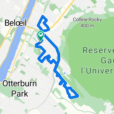
- Beloeil, Quebec, Canada
A cycling route starting in Beloeil, Quebec, Canada.
Overview
Réserve McGill. Verges . New France Équitation. Gare St-Hilaire.
created this 4 years ago
Route quality
Road
15.3 km
(33 %)
Quiet road
14.8 km
(32 %)
Paved
43.1 km
(93 %)
Asphalt
43.1 km
(93 %)
Undefined
3.2 km
(7 %)
Continue with Bikemap
You would like to ride R.L. Tour Mt-St-Hilaire. 1 or customize it for your own trip? Here is what you can do with this Bikemap route:
Free trial for 3 days, or one-time payment. More about Bikemap Premium.
Discover more Premium features.
Get Bikemap PremiumFrom our community
Open it in the app