

P-Biel/Evilard/Orvin/Frinvillier (16km) v3 BEST
A cycling route starting in Biel/Bienne, Canton of Bern, Switzerland.
Overview
About this route
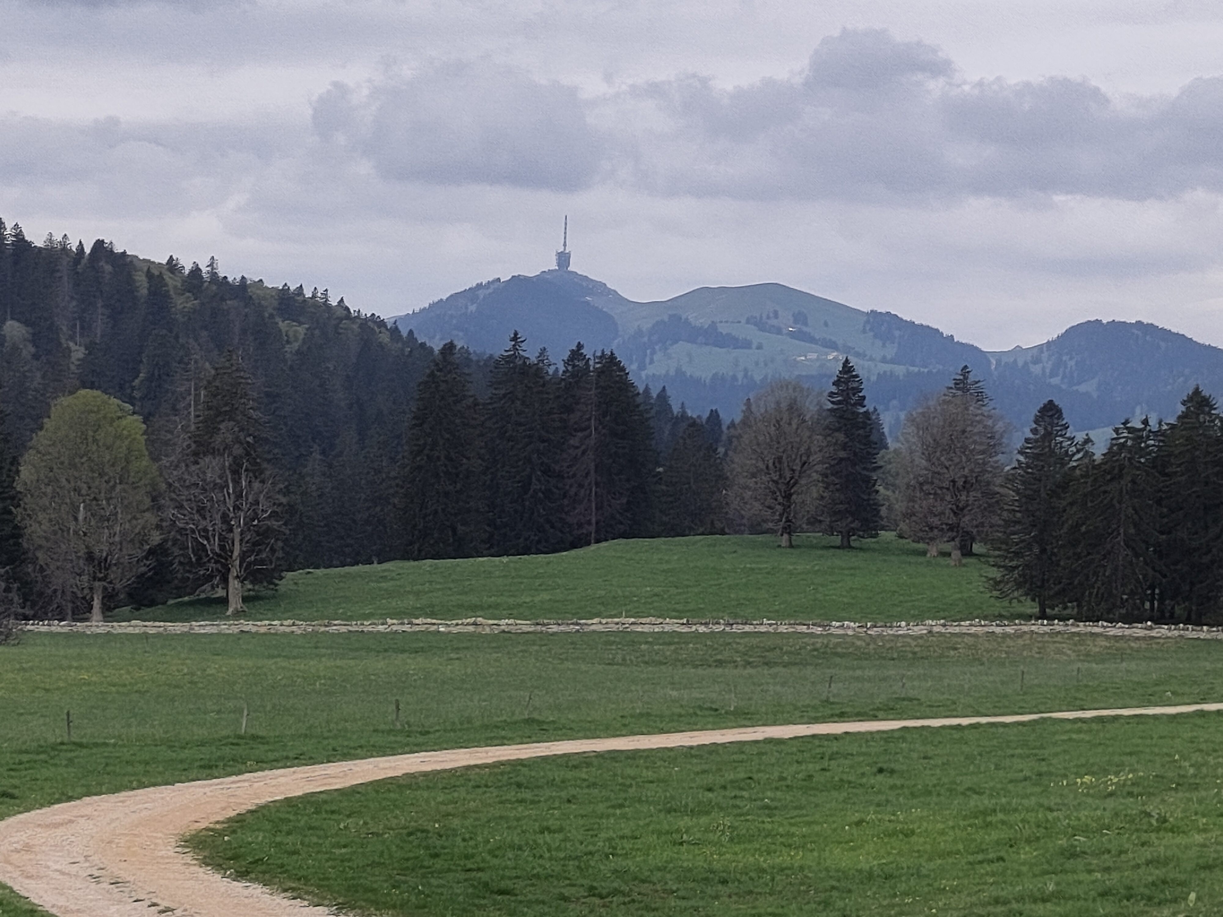
Perfect short route (all paved) for training in Biel/Bienne area. This is the BEST version of the route for me and it's good to avoid traffic. First climb to Evilard is around 4.5km at 7%. Second climb is less than 2 km at 6%.
- -:--
- Duration
- 15.8 km
- Distance
- 442 m
- Ascent
- 440 m
- Descent
- ---
- Avg. speed
- ---
- Max. altitude

Route quality
Waytypes & surfaces along the route
Waytypes
Road
7.6 km
(48 %)
Quiet road
2.8 km
(18 %)
Surfaces
Paved
8.5 km
(54 %)
Unpaved
0.5 km
(3 %)
Asphalt
6.5 km
(41 %)
Paved (undefined)
2.1 km
(13 %)
Route highlights
Points of interest along the route
Drinking water after 5.3 km
Drinking water after 7.2 km
Point of interest after 11.3 km
TUNNEL: you need lights for your bike !!!
Continue with Bikemap
Use, edit, or download this cycling route
You would like to ride P-Biel/Evilard/Orvin/Frinvillier (16km) v3 BEST or customize it for your own trip? Here is what you can do with this Bikemap route:
Free features
- Save this route as favorite or in collections
- Copy & plan your own version of this route
- Sync your route with Garmin or Wahoo
Premium features
Free trial for 3 days, or one-time payment. More about Bikemap Premium.
- Navigate this route on iOS & Android
- Export a GPX / KML file of this route
- Create your custom printout (try it for free)
- Download this route for offline navigation
Discover more Premium features.
Get Bikemap PremiumFrom our community
Other popular routes starting in Biel/Bienne
 P-Biel/Bienne TRACK2 (16km)
- Distance
- 15.5 km
- Ascent
- 242 m
- Descent
- 244 m
- Location
- Biel/Bienne, Canton of Bern, Switzerland
 P-Biel/Aarberg/Oltigen (84km)
- Distance
- 84.1 km
- Ascent
- 740 m
- Descent
- 742 m
- Location
- Biel/Bienne, Canton of Bern, Switzerland
 Theo's
- Distance
- 25.3 km
- Ascent
- 838 m
- Descent
- 832 m
- Location
- Biel/Bienne, Canton of Bern, Switzerland
 P-Biel/Aetigkofen (73km)
- Distance
- 72.6 km
- Ascent
- 881 m
- Descent
- 880 m
- Location
- Biel/Bienne, Canton of Bern, Switzerland
 P-Biel/Evilard/Orvin/Frinvillier (16km) v3 BEST
- Distance
- 15.8 km
- Ascent
- 442 m
- Descent
- 440 m
- Location
- Biel/Bienne, Canton of Bern, Switzerland
 Biel - Saisselin - Jobert - Biel
- Distance
- 38.5 km
- Ascent
- 1,292 m
- Descent
- 1,293 m
- Location
- Biel/Bienne, Canton of Bern, Switzerland
 P-Biel/Evilard/Orvin/Plagne/Grenchen (40km)
- Distance
- 40.5 km
- Ascent
- 706 m
- Descent
- 707 m
- Location
- Biel/Bienne, Canton of Bern, Switzerland
 P-Biel/Bienne TRACK1 (16km)
- Distance
- 16.3 km
- Ascent
- 232 m
- Descent
- 234 m
- Location
- Biel/Bienne, Canton of Bern, Switzerland
Open it in the app