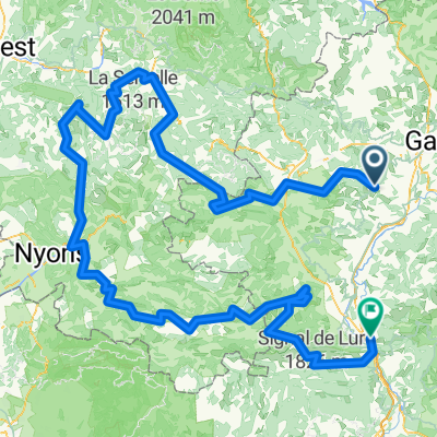
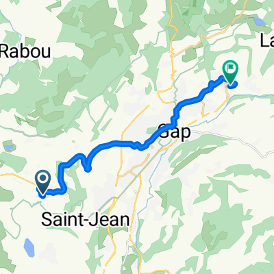
Traversée la Rama par l’Aiglière et Rocher Rond

A cycling route starting in La Roche-des-Arnauds, Provence-Alpes-Côte d'Azur Region, France.
OverviewAbout this route

Traversée la Rama par l’Aiglière et Rocher Rond

-:--
Duration
12.4 km
Distance
1,284 m
Ascent
1,284 m
Descent
---
Avg. speed
---
Max. altitude
elperroudcreated this 4 years ago
Continue with BikemapUse, edit, or download this cycling route
You would like to ride Traversée la Rama par l’Aiglière et Rocher Rond or customize it for your own trip? Here is what you can do with this Bikemap route:
Free features
Premium features

Free trial for 3 days, or one-time payment. More about Bikemap Premium.

  • Navigate this route on iOS & Android
  • Export a GPX / KML file of this route
  • Create your custom printout (try it for free)
  • Download this route for offline navigation

Discover more Premium features.

Get Bikemap Premium
From our communityOther popular routes starting in La Roche-des-Arnauds

Open it in the app