

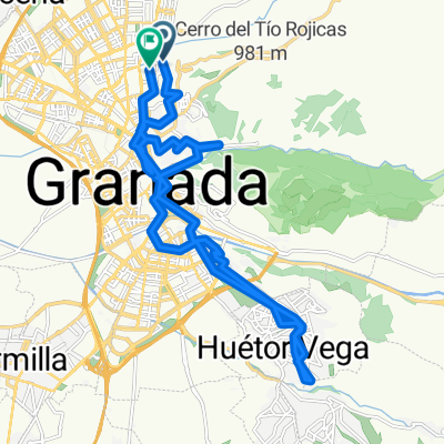
Granada - Guejar Sierra
A cycling route starting in Granada, Andalusia, Spain.
Overview
About this route
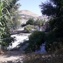
always along the river path
- -:--
- Duration
- 17.9 km
- Distance
- 534 m
- Ascent
- 146 m
- Descent
- ---
- Avg. speed
- ---
- Max. altitude

Continue with Bikemap
Use, edit, or download this cycling route
You would like to ride Granada - Guejar Sierra or customize it for your own trip? Here is what you can do with this Bikemap route:
Free features
- Save this route as favorite or in collections
- Copy & plan your own version of this route
- Sync your route with Garmin or Wahoo
Premium features
Free trial for 3 days, or one-time payment. More about Bikemap Premium.
- Navigate this route on iOS & Android
- Export a GPX / KML file of this route
- Create your custom printout (try it for free)
- Download this route for offline navigation
Discover more Premium features.
Get Bikemap PremiumFrom our community
Other popular routes starting in Granada
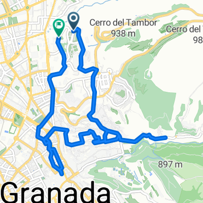
 Ruta en Granada
- Distance
- 5.6 km
- Ascent
- 36 m
- Descent
- 195 m
- Location
- Granada, Andalusia, Spain
 granada
- Distance
- 25.9 km
- Ascent
- 483 m
- Descent
- 484 m
- Location
- Granada, Andalusia, Spain
 granada
- Distance
- 9.9 km
- Ascent
- 205 m
- Descent
- 208 m
- Location
- Granada, Andalusia, Spain
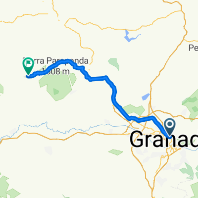 Granada - Montefrío
- Distance
- 51.3 km
- Ascent
- 726 m
- Descent
- 597 m
- Location
- Granada, Andalusia, Spain
 Granada Vistas y Aquas
- Distance
- 26.5 km
- Ascent
- 518 m
- Descent
- 475 m
- Location
- Granada, Andalusia, Spain
 Puente verde- Alfacar- Nívar- Alfagüara- Cedefo-Fuente de la Teja- Puerto Lobo-El Fargue-Sacromonte- Granada
- Distance
- 55 km
- Ascent
- 1,118 m
- Descent
- 1,097 m
- Location
- Granada, Andalusia, Spain
 purche (camino de los neveros)
- Distance
- 27.5 km
- Ascent
- 811 m
- Descent
- 810 m
- Location
- Granada, Andalusia, Spain
 Granada Aguas Blancas Punto geodésico Pinos Granada
- Distance
- 32.8 km
- Ascent
- 677 m
- Descent
- 675 m
- Location
- Granada, Andalusia, Spain
Open it in the app