
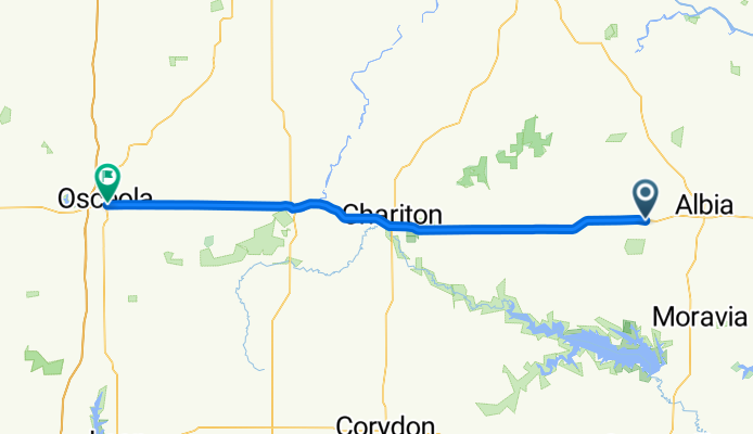
6000–6060 US-34, Albia to 212 E McLane St, Osceola
A cycling route starting in Albia, Iowa, United States of America.
Overview
About this route
- 3 h 42 min
- Duration
- 73.9 km
- Distance
- 735 m
- Ascent
- 640 m
- Descent
- 20 km/h
- Avg. speed
- ---
- Max. altitude
Route quality
Waytypes & surfaces along the route
Waytypes
Busy road
52.2 km
(71 %)
Quiet road
20.4 km
(28 %)
Surfaces
Paved
46.7 km
(63 %)
Unpaved
5.1 km
(7 %)
Asphalt
23.8 km
(32 %)
Paved (undefined)
22.9 km
(31 %)
Continue with Bikemap
Use, edit, or download this cycling route
You would like to ride 6000–6060 US-34, Albia to 212 E McLane St, Osceola or customize it for your own trip? Here is what you can do with this Bikemap route:
Free features
- Save this route as favorite or in collections
- Copy & plan your own version of this route
- Sync your route with Garmin or Wahoo
Premium features
Free trial for 3 days, or one-time payment. More about Bikemap Premium.
- Navigate this route on iOS & Android
- Export a GPX / KML file of this route
- Create your custom printout (try it for free)
- Download this route for offline navigation
Discover more Premium features.
Get Bikemap PremiumFrom our community
Other popular routes starting in Albia
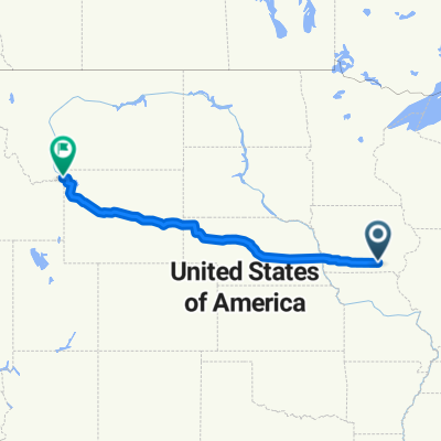 24302–24904 US-34, Albia to 415 Yellowstone Ave, West Yellowstone
- Distance
- 1,836.8 km
- Ascent
- 7,447 m
- Descent
- 5,625 m
- Location
- Albia, Iowa, United States of America
 6000–6060 US-34, Albia to 212 E McLane St, Osceola
- Distance
- 73.9 km
- Ascent
- 735 m
- Descent
- 640 m
- Location
- Albia, Iowa, United States of America
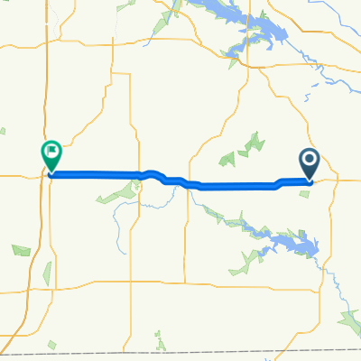
 5746–5798 201st Ln, Albia to 400–424 S Main St, Osceola
- Distance
- 69.9 km
- Ascent
- 684 m
- Descent
- 632 m
- Location
- Albia, Iowa, United States of America
Open it in the app