

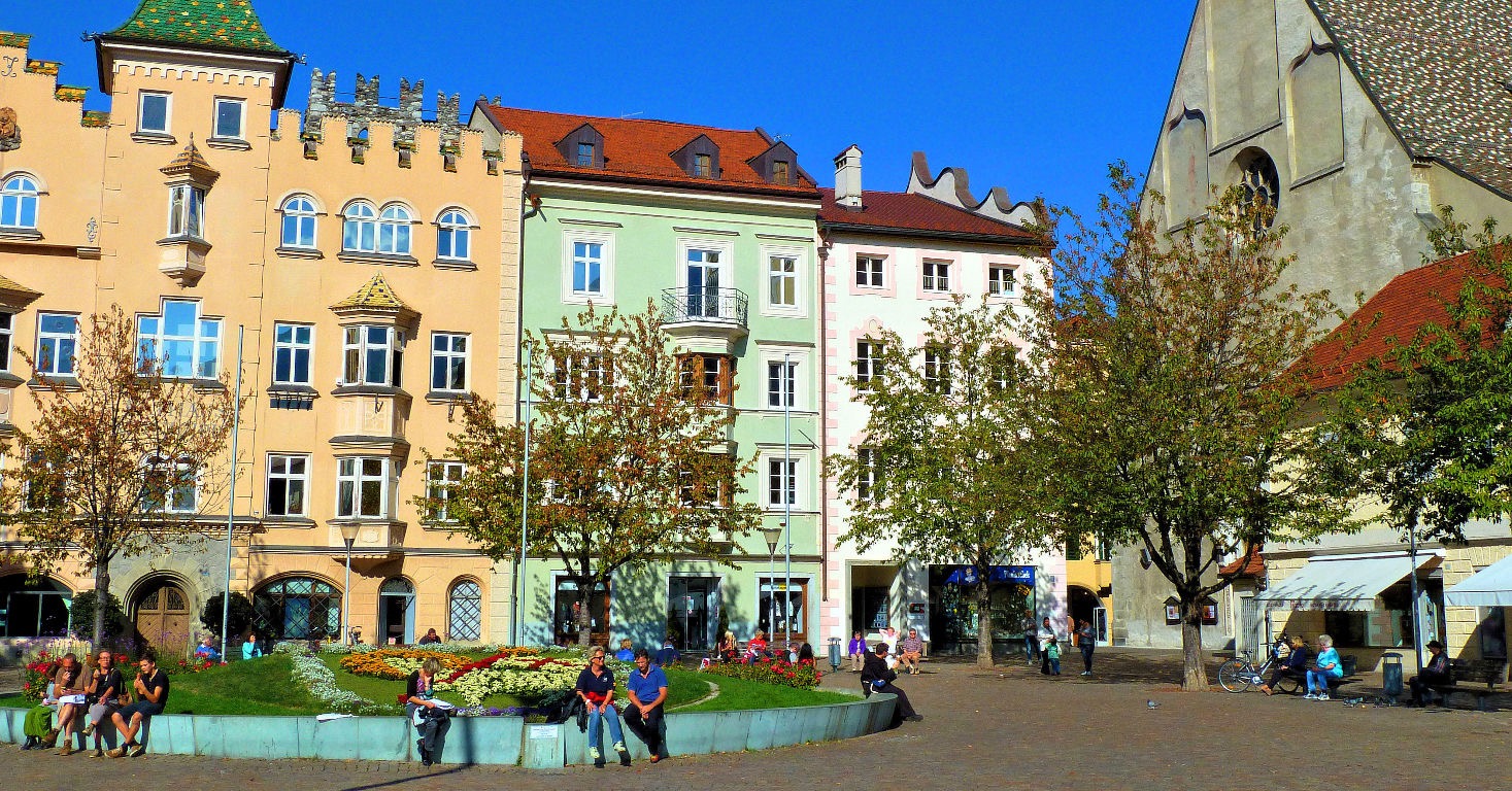
Brixen-Plose
A cycling route starting in Brixen, Trentino-Alto Adige, Italy.
Overview
About this route
Von Brixen Stadtmitte kommend den Radweg entlang der Industriezone bis hinter die PROGRESS, dann über die neue weisse Pylonenbrücke nach Albeins. In Albeins bergan entlang dem Aferer Bach den Forstweg - steilstes (250m Stück) kurz vorm Schmied (ca. 23 %). Wer da ne absenkbare Gabel am Rad hat ist klar im Vorteil ;-)) Nachm Schmied teils auf Asphalt weiter bergan bis zum Anschluß an die Landstraße. Über Palmschoß bis Kreuztal auf Asphalt.<br />Weiter oben (über der Baumgrenze) Schotterweg mit teils doch recht grobem Schotter. Wer sich die Körner bis dahin gut eingeteilt hat und nun noch Schmackes in den Beinen hat kommt hier aber dennoch bis zur Plosehütte (CIA) gut hinauf.<br />Bis zum Gipfelplateau sinds dann auch nur noch ein "paar" Meter.<br />Zurück gehts die Schotterpiste bis Kreuztal, weiter auf Asphalt nach Palmschoß, im Anschluß die "normale" Straße bergab über Afers, St. Andrä, Milland zurück nach Brixen.
- -:--
- Duration
- 53.9 km
- Distance
- 2,303 m
- Ascent
- 2,176 m
- Descent
- ---
- Avg. speed
- 2,477 m
- Avg. speed

Route quality
Waytypes & surfaces along the route
Waytypes
Track
20 km
(37 %)
Road
16.2 km
(30 %)
Surfaces
Paved
31.9 km
(59 %)
Unpaved
20.1 km
(37 %)
Asphalt
31.9 km
(59 %)
Gravel
12.2 km
(23 %)
Route highlights
Points of interest along the route
Point of interest after 27.9 km
Rundblick mit Schautafel auf dem Hochplateau
Continue with Bikemap
Use, edit, or download this cycling route
You would like to ride Brixen-Plose or customize it for your own trip? Here is what you can do with this Bikemap route:
Free features
- Save this route as favorite or in collections
- Copy & plan your own version of this route
- Sync your route with Garmin or Wahoo
Premium features
Free trial for 3 days, or one-time payment. More about Bikemap Premium.
- Navigate this route on iOS & Android
- Export a GPX / KML file of this route
- Create your custom printout (try it for free)
- Download this route for offline navigation
Discover more Premium features.
Get Bikemap PremiumFrom our community
Other popular routes starting in Brixen
 Giro d`Italia 2008 - stage 1
- Distance
- 87.3 km
- Ascent
- 3,665 m
- Descent
- 2,593 m
- Location
- Brixen, Trentino-Alto Adige, Italy
 Brixen naar Bolzano - etappe 2 tdf 2025
- Distance
- 45.7 km
- Ascent
- 690 m
- Descent
- 978 m
- Location
- Brixen, Trentino-Alto Adige, Italy
 Brixen- siegesmund
- Distance
- 24.1 km
- Ascent
- 333 m
- Descent
- 128 m
- Location
- Brixen, Trentino-Alto Adige, Italy
 Brixen-Würzjoch-Brixen
- Distance
- 61.9 km
- Ascent
- 1,631 m
- Descent
- 1,632 m
- Location
- Brixen, Trentino-Alto Adige, Italy
 Route to Camping Sass Dlacia
- Distance
- 68.3 km
- Ascent
- 3,979 m
- Descent
- 2,884 m
- Location
- Brixen, Trentino-Alto Adige, Italy
 Plose Flowtrail Brixen
- Distance
- 5.5 km
- Ascent
- 0 m
- Descent
- 964 m
- Location
- Brixen, Trentino-Alto Adige, Italy
 Route in Brixen
- Distance
- 26.9 km
- Ascent
- 792 m
- Descent
- 779 m
- Location
- Brixen, Trentino-Alto Adige, Italy
 Lüsen - Jakobstoeckl - Rodeneck Alm
- Distance
- 54.9 km
- Ascent
- 1,804 m
- Descent
- 1,806 m
- Location
- Brixen, Trentino-Alto Adige, Italy
Open it in the app