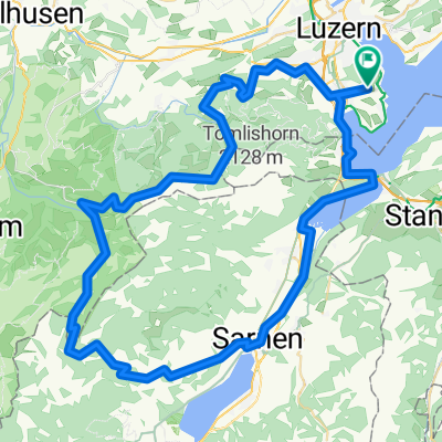
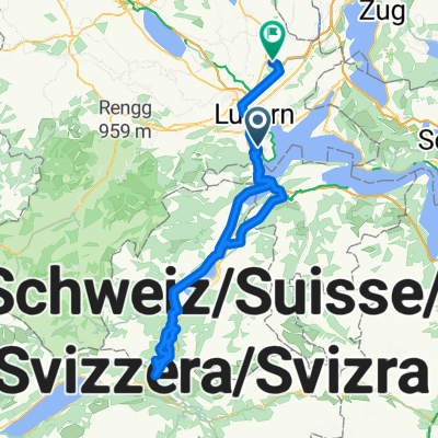
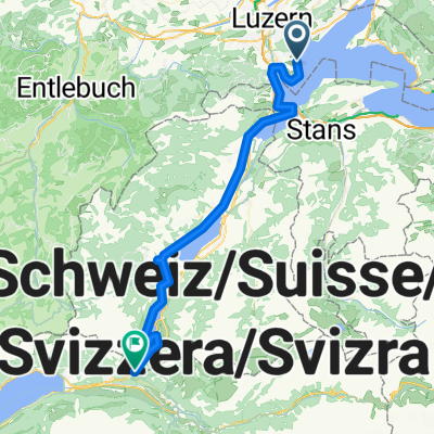
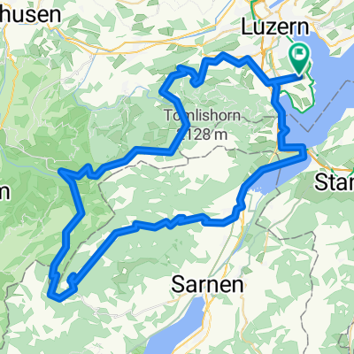
Melchsee+Ächerlipass
- 79.1 km
- 1,542 m
- 1,542 m
- Horw, Canton of Lucerne, Switzerland
A cycling route starting in Horw, Canton of Lucerne, Switzerland.
Overview
Ächerlipass: very bad
created this 14 years ago
Route quality
Quiet road
22.9 km
(29 %)
Road
4 km
(5 %)
Paved
52.2 km
(66 %)
Asphalt
46.6 km
(59 %)
Paved (undefined)
5.5 km
(7 %)
Undefined
26.9 km
(34 %)
Continue with Bikemap
You would like to ride Melchsee+Ächerlipass or customize it for your own trip? Here is what you can do with this Bikemap route:
Free trial for 3 days, or one-time payment. More about Bikemap Premium.
Discover more Premium features.
Get Bikemap PremiumFrom our community
Open it in the app