

2011.04.10 "időfutam"
A cycling route starting in Szentgotthárd, Vas County, Hungary.
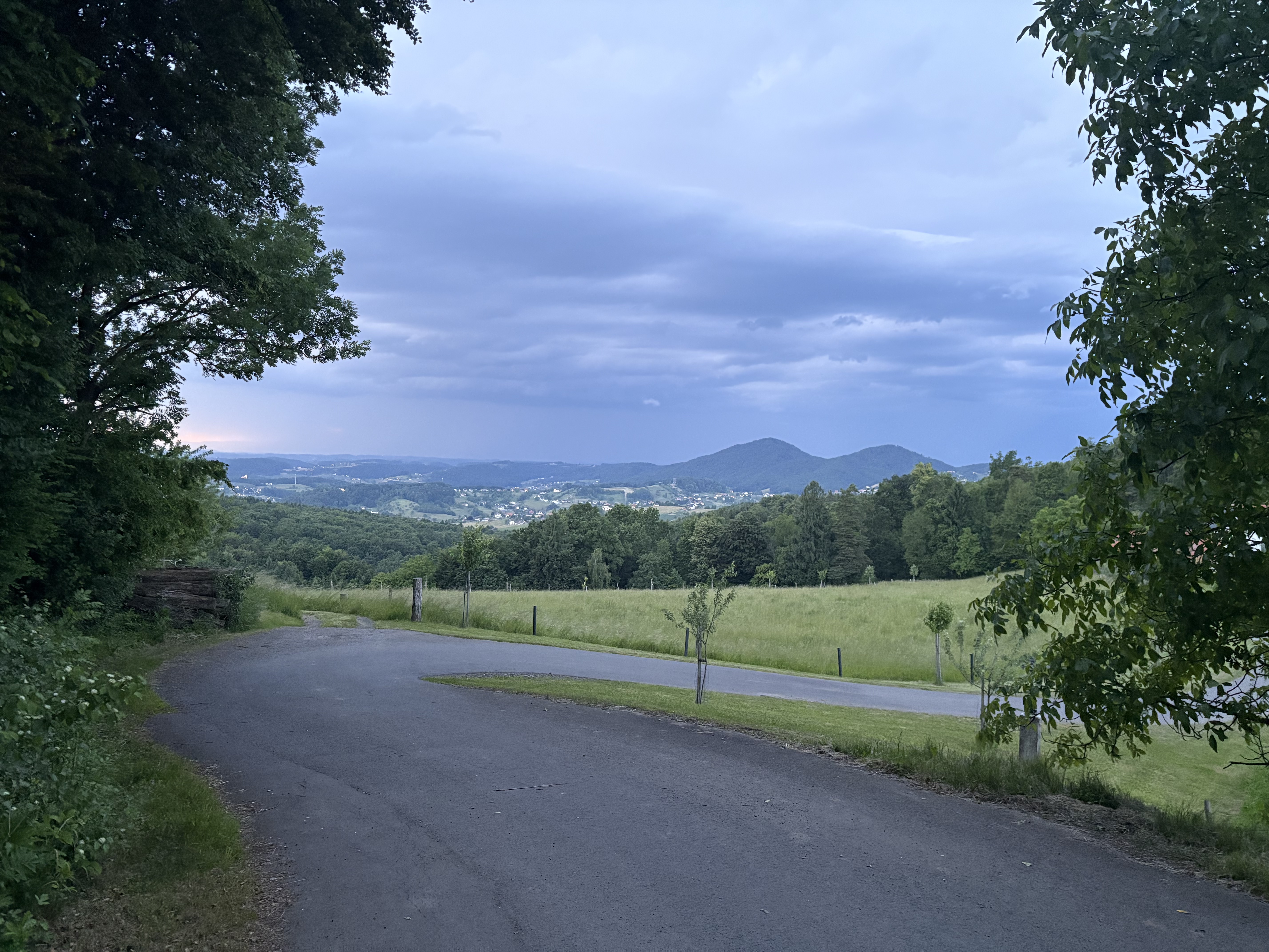
Overview
About this route
1:13:00
Alapvetően nem jó idő, de figyelembevéve hogy végig milyen oldalszelem volt nemrossz.
- -:--
- Duration
- 36.1 km
- Distance
- 173 m
- Ascent
- 173 m
- Descent
- ---
- Avg. speed
- ---
- Max. altitude

Route quality
Waytypes & surfaces along the route
Waytypes
Quiet road
13.3 km
(37 %)
Road
12.3 km
(34 %)
Surfaces
Paved
35 km
(97 %)
Asphalt
34.3 km
(95 %)
Paved (undefined)
0.7 km
(2 %)
Undefined
1.1 km
(3 %)
Route highlights
Points of interest along the route
Point of interest after 6.6 km
600 méteres "pavés" rész. simán jó lenne Paris-Roubaixra. Máskor óvatosan jövök itt, most nyélen, megihletett a délutáni verseny
Point of interest after 14.4 km
Mélypont. Itt fújt a legdurvábban a szél, 25ös tempóhoz szenvedni kellett.
Continue with Bikemap
Use, edit, or download this cycling route
You would like to ride 2011.04.10 "időfutam" or customize it for your own trip? Here is what you can do with this Bikemap route:
Free features
- Save this route as favorite or in collections
- Copy & plan your own version of this route
- Sync your route with Garmin or Wahoo
Premium features
Free trial for 3 days, or one-time payment. More about Bikemap Premium.
- Navigate this route on iOS & Android
- Export a GPX / KML file of this route
- Create your custom printout (try it for free)
- Download this route for offline navigation
Discover more Premium features.
Get Bikemap PremiumFrom our community
Other popular routes starting in Szentgotthárd
 Bethlen Gábor utca, Szentgotthárd - Bethlen Gábor utca, Szentgotthárd
- Distance
- 77.3 km
- Ascent
- 816 m
- Descent
- 815 m
- Location
- Szentgotthárd, Vas County, Hungary
 Bethlen Gábor utca, Szentgotthárd - Bethlen Gábor utca, Szentgotthárd
- Distance
- 156.1 km
- Ascent
- 1,103 m
- Descent
- 1,096 m
- Location
- Szentgotthárd, Vas County, Hungary
 Szentgotthárd - Napsugár utca, Alsószölnök
- Distance
- 76.7 km
- Ascent
- 1,244 m
- Descent
- 1,234 m
- Location
- Szentgotthárd, Vas County, Hungary
 2011.04.10 "időfutam"
- Distance
- 36.1 km
- Ascent
- 173 m
- Descent
- 173 m
- Location
- Szentgotthárd, Vas County, Hungary
 Bethlen utca - Bethlen utca
- Distance
- 73.3 km
- Ascent
- 489 m
- Descent
- 542 m
- Location
- Szentgotthárd, Vas County, Hungary
 Bethlen Gábor utca, Szentgotthárd - Frutten, Straden
- Distance
- 39.5 km
- Ascent
- 514 m
- Descent
- 268 m
- Location
- Szentgotthárd, Vas County, Hungary
 Bethlen utca - Bethlen utca
- Distance
- 122.4 km
- Ascent
- 492 m
- Descent
- 546 m
- Location
- Szentgotthárd, Vas County, Hungary
 Bethlen Gábor utca, Szentgotthárd - Fő utca, Badacsonytomaj
- Distance
- 153.5 km
- Ascent
- 881 m
- Descent
- 1,010 m
- Location
- Szentgotthárd, Vas County, Hungary
Open it in the app