Eisenacher Straße 27, Aspach nach Brotteroder Straße 49, Trusetal
- 30.2 km
- 643 m
- 523 m
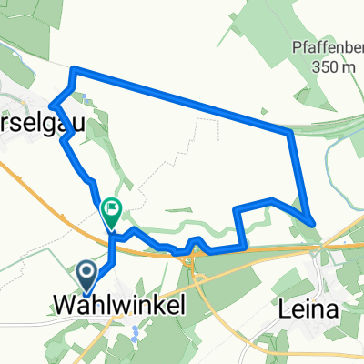
- Hörselgau, Thuringia, Germany
A cycling route starting in Hörselgau, Thuringia, Germany.
Overview
Hörselgau - Leina - Schepfenthal - Waltershausen - Hörselgau
created this 15 years ago
Route quality
Quiet road
7.1 km
42 %
Track
7.1 km
42 %
Paved
5.7 km
(34 %)
Unpaved
4.2 km
(25 %)
Asphalt
5.2 km
31 %
Ground
2.7 km
16 %
Continue with Bikemap
You would like to ride Runde um Hörselgau 2 or customize it for your own trip? Here is what you can do with this Bikemap route:
Free trial for 3 days, or one-time payment. More about Bikemap Premium.
Discover more Premium features.
Get Bikemap PremiumFrom our community
Open it in the app