Steady ride in
- 5.5 km
- 57 m
- 53 m
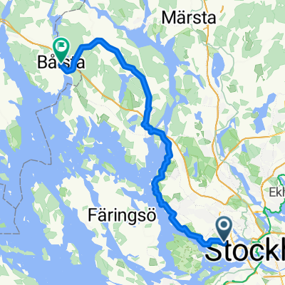
- Bromma, Stockholm County, Sweden
A cycling route starting in Bromma, Stockholm County, Sweden.
Overview
Runda från Solursparken i Vällingby till Sigtuna. Sverigeleden till Märsta, därefter Mälardalsleden via Kungsängen tillbaka.
created this 4 years ago
Route quality
Cycleway
47.2 km
(42 %)
Road
27 km
(24 %)
Paved
94.5 km
(84 %)
Unpaved
4.5 km
(4 %)
Asphalt
85.5 km
(76 %)
Paved (undefined)
9 km
(8 %)
Continue with Bikemap
You would like to ride Sigtunarunda förslag 1 or customize it for your own trip? Here is what you can do with this Bikemap route:
Free trial for 3 days, or one-time payment. More about Bikemap Premium.
Discover more Premium features.
Get Bikemap PremiumFrom our community
Open it in the app