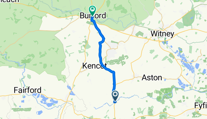
Thames Path, Clanfield, Bampton to 104 High St, Burford
A cycling route starting in Faringdon, England, United Kingdom.
Overview
About this route
- 53 min
- Duration
- 15.1 km
- Distance
- 92 m
- Ascent
- 45 m
- Descent
- 17.2 km/h
- Avg. speed
- ---
- Avg. speed
Route quality
Waytypes & surfaces along the route
Waytypes
Busy road
8.7 km
(58 %)
Quiet road
5.7 km
(38 %)
Surfaces
Paved
11.4 km
(75 %)
Asphalt
10.4 km
(69 %)
Paved (undefined)
1 km
(7 %)
Undefined
3.7 km
(25 %)
Continue with Bikemap
Use, edit, or download this cycling route
You would like to ride Thames Path, Clanfield, Bampton to 104 High St, Burford or customize it for your own trip? Here is what you can do with this Bikemap route:
Free features
- Save this route as favorite or in collections
- Copy & plan your own version of this route
- Sync your route with Garmin or Wahoo
Premium features
Free trial for 3 days, or one-time payment. More about Bikemap Premium.
- Navigate this route on iOS & Android
- Export a GPX / KML file of this route
- Create your custom printout (try it for free)
- Download this route for offline navigation
Discover more Premium features.
Get Bikemap PremiumFrom our community
Other popular routes starting in Faringdon
- Red - Swinbrook - Great Rissington - Coln St Aldwyns
- Distance
- 70 km
- Ascent
- 544 m
- Descent
- 543 m
- Location
- Faringdon, England, United Kingdom
- Thrupp
- Distance
- 11.2 km
- Ascent
- 72 m
- Descent
- 71 m
- Location
- Faringdon, England, United Kingdom
- Office to Office R1
- Distance
- 89 km
- Ascent
- 364 m
- Descent
- 423 m
- Location
- Faringdon, England, United Kingdom
- Faringdon 5
- Distance
- 76.3 km
- Ascent
- 256 m
- Descent
- 259 m
- Location
- Faringdon, England, United Kingdom
- Marlborough Close 4 to Axbridge Close 15
- Distance
- 20 km
- Ascent
- 68 m
- Descent
- 70 m
- Location
- Faringdon, England, United Kingdom
- Cotswold Meander 2
- Distance
- 64 km
- Ascent
- 345 m
- Descent
- 363 m
- Location
- Faringdon, England, United Kingdom
- Faringdon 6
- Distance
- 107.4 km
- Ascent
- 233 m
- Descent
- 236 m
- Location
- Faringdon, England, United Kingdom
- Thames Path, Clanfield, Bampton to 104 High St, Burford
- Distance
- 15.1 km
- Ascent
- 92 m
- Descent
- 45 m
- Location
- Faringdon, England, United Kingdom
Open it in the app