

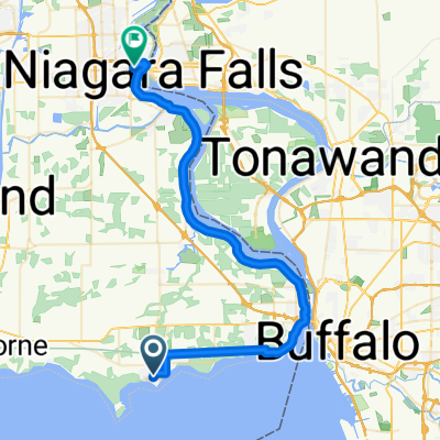
Route to 5301–5399 Firelane 24, Sherkston
A cycling route starting in Fort Erie, Ontario, Canada.
Overview
About this route
- 48 min
- Duration
- 13.8 km
- Distance
- 26 m
- Ascent
- 31 m
- Descent
- 17.2 km/h
- Avg. speed
- ---
- Max. altitude

Route quality
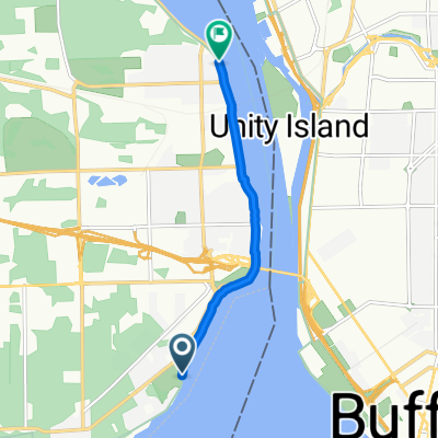
Waytypes & surfaces along the route
Waytypes
Cycleway
10.2 km
(74 %)
Road
1.4 km
(10 %)
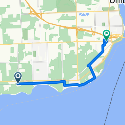
Surfaces
Paved
13.2 km
(96 %)
Unpaved
0.3 km
(2 %)
Paved (undefined)
9 km
(65 %)
Asphalt
4.3 km
(31 %)
Continue with Bikemap
Use, edit, or download this cycling route
You would like to ride Route to 5301–5399 Firelane 24, Sherkston or customize it for your own trip? Here is what you can do with this Bikemap route:
Free features
- Save this route as favorite or in collections
- Copy & plan your own version of this route
- Sync your route with Garmin or Wahoo
Premium features
Free trial for 3 days, or one-time payment. More about Bikemap Premium.
- Navigate this route on iOS & Android
- Export a GPX / KML file of this route
- Create your custom printout (try it for free)
- Download this route for offline navigation
Discover more Premium features.
Get Bikemap PremiumFrom our community
Other popular routes starting in Fort Erie
 3264 Hyman Ave, Fort Erie to 3264 Hyman Ave, Fort Erie
- Distance
- 10.6 km
- Ascent
- 25 m
- Descent
- 23 m
- Location
- Fort Erie, Ontario, Canada
 Derby Rd, Fort Erie to Victoria Ave, Niagara Falls
- Distance
- 49 km
- Ascent
- 180 m
- Descent
- 169 m
- Location
- Fort Erie, Ontario, Canada
 Fort Erie to Chippewa
- Distance
- 28.6 km
- Ascent
- 47 m
- Descent
- 58 m
- Location
- Fort Erie, Ontario, Canada
 2226 W Oakfield Rd, Grand Island to 2226 W Oakfield Rd, Grand Island
- Distance
- 17 km
- Ascent
- 41 m
- Descent
- 40 m
- Location
- Fort Erie, Ontario, Canada
 Ridgeway Road 528, Fort Erie to Ridgeway Road 528, Fort Erie
- Distance
- 25.2 km
- Ascent
- 60 m
- Descent
- 56 m
- Location
- Fort Erie, Ontario, Canada
 Ruby Avenue 937, Fort Erie to Clarence Street 20, Port Colborne
- Distance
- 25.2 km
- Ascent
- 71 m
- Descent
- 86 m
- Location
- Fort Erie, Ontario, Canada
 Niagara River Recreation Trail
- Distance
- 5.1 km
- Ascent
- 16 m
- Descent
- 16 m
- Location
- Fort Erie, Ontario, Canada
 Great Lakes Waterfront Tr, Fort Erie to 200 Garrison Rd, Fort Erie
- Distance
- 7.8 km
- Ascent
- 202 m
- Descent
- 196 m
- Location
- Fort Erie, Ontario, Canada
Open it in the app