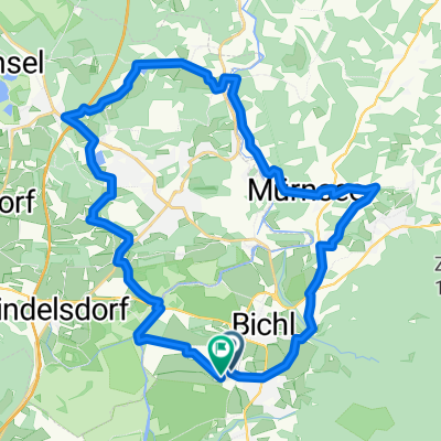
Benediktenwandrunde 60km
- 59.3 km
- 1,730 m
- 1,730 m
- Benediktbeuern, Bavaria, Germany
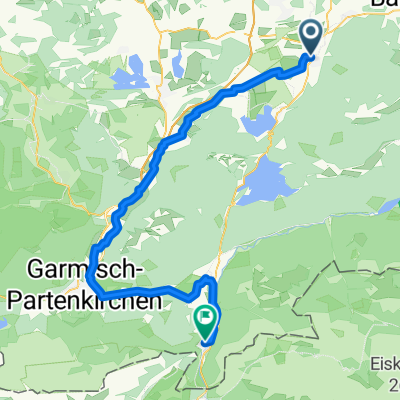
A cycling route starting in Benediktbeuern, Bavaria, Germany.
Overview
created this 17 years ago
Route quality
Road
20.7 km
(20 %)
Track
10.3 km
(10 %)
Paved
93 km
(90 %)
Unpaved
5.2 km
(5 %)
Asphalt
92 km
(89 %)
Ground
2.1 km
(2 %)
Continue with Bikemap
You would like to ride Benediktbeuern-Hohenpeißenberg or customize it for your own trip? Here is what you can do with this Bikemap route:
Free trial for 3 days, or one-time payment. More about Bikemap Premium.
Discover more Premium features.
Get Bikemap PremiumFrom our community
Open it in the app