

Malý okruh k přehradě
A cycling route starting in Mokrá Hora, South Moravian, Czechia.
Overview
About this route
- Start Medlánky-school
- Green - Medlánky hills
- Yellow - crossroads above the airport - Brno loop - to Bystrc
- Yellow - to the dam - carry the bike up the stairs and cross to the other side
- Red - to the Sokol swimming pool.
- Behind the parking lot, forest path to Kníničky
- Blue - around Mniší hora to U boudy. Descend back to the Brno loop.
- -:--
- Duration
- 14.4 km
- Distance
- 218 m
- Ascent
- 215 m
- Descent
- ---
- Avg. speed
- ---
- Max. altitude

Route highlights
Points of interest along the route
Point of interest after 0.7 km
2.
Point of interest after 4.9 km
4.
Point of interest after 6.4 km
Hráz- po schodech vynést kolo a přejet na druhou stranu
Point of interest after 6.5 km
5.
Point of interest after 7.7 km
6.
Point of interest after 9.1 km
7.
Point of interest after 13 km
3.
Continue with Bikemap
Use, edit, or download this cycling route
You would like to ride Malý okruh k přehradě or customize it for your own trip? Here is what you can do with this Bikemap route:
Free features
- Save this route as favorite or in collections
- Copy & plan your own version of this route
- Sync your route with Garmin or Wahoo
Premium features
Free trial for 3 days, or one-time payment. More about Bikemap Premium.
- Navigate this route on iOS & Android
- Export a GPX / KML file of this route
- Create your custom printout (try it for free)
- Download this route for offline navigation
Discover more Premium features.
Get Bikemap PremiumFrom our community
Other popular routes starting in Mokrá Hora
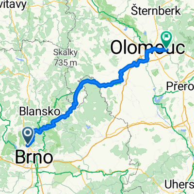 From Brno to Velká Bystřice
- Distance
- 104.1 km
- Ascent
- 1,797 m
- Descent
- 1,834 m
- Location
- Mokrá Hora, South Moravian, Czechia
 34 km - Okolo Prýglu L-P
- Distance
- 33.5 km
- Ascent
- 425 m
- Descent
- 425 m
- Location
- Mokrá Hora, South Moravian, Czechia
 Severní brněnská vyjížďka
- Distance
- 25.7 km
- Ascent
- 348 m
- Descent
- 348 m
- Location
- Mokrá Hora, South Moravian, Czechia
 Medlanky_NoveNam_KyselaHora_nadLesnou_Obrany_Svitava_PFC
- Distance
- 15.7 km
- Ascent
- 208 m
- Descent
- 221 m
- Location
- Mokrá Hora, South Moravian, Czechia
 Brněnské kolečko
- Distance
- 90.6 km
- Ascent
- 735 m
- Descent
- 734 m
- Location
- Mokrá Hora, South Moravian, Czechia
 Brno - Útěchov - Olomučany - Olešná - Brno
- Distance
- 52.2 km
- Ascent
- 814 m
- Descent
- 814 m
- Location
- Mokrá Hora, South Moravian, Czechia
 Na nedělní odpoledne
- Distance
- 37 km
- Ascent
- 599 m
- Descent
- 600 m
- Location
- Mokrá Hora, South Moravian, Czechia
 Route in Brno
- Distance
- 40.3 km
- Ascent
- 760 m
- Descent
- 760 m
- Location
- Mokrá Hora, South Moravian, Czechia
Open it in the app