

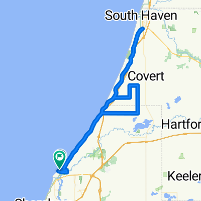
Benton Harbor Cycling
A cycling route starting in Benton Harbor, Michigan, United States.OverviewAbout this route
- -:--
- Duration
- 88.8 km
- Distance
- 282 m
- Ascent
- 302 m
- Descent
- ---
- Avg. speed
- 210 m
- Max. altitude
Ricardo Souzacreated this 4 years ago
Waytypes
Quiet road
13.3 km15 %Road
10.7 km12 %
Surfaces
Paved
49.7 km(56 %)Paved (undefined)
43.5 km49 %Asphalt
6.2 km7 %Undefined
39.1 km44 %
Free features
- Save this route as favorite or in collections
- Copy & plan your own version of this route
- Split it into stages to create a multi-day tour
- Sync your route with Garmin or Wahoo
Premium features
Free trial for 3 days, or one-time payment. More about Bikemap Premium.
- Navigate this route on iOS & Android
- Export a GPX / KML file of this route
- Create your custom printout (try it for free)
- Download this route for offline navigation
Discover more Premium features.
Get Bikemap Premium- 1503 E Empire Ave, Benton Harbor to Benton Harbor
- 3.1 km
- 9 m
- 10 m
- Benton Harbor, Michigan, United States
- Grand Haven mini tour - 3
- 91.3 km
- 210 m
- 200 m
- Benton Harbor, Michigan, United States
- From Benton Harbor to Mears
- 238.8 km
- 1,071 m
- 1,064 m
- Benton Harbor, Michigan, United States
- 1100 Sylvan Rd, Benton Harbor to 1100 Sylvan Rd, Benton Harbor
- 9.7 km
- 35 m
- 37 m
- Benton Harbor, Michigan, United States
- Benton Harbor - South Haven
- 60.4 km
- 261 m
- 240 m
- Benton Harbor, Michigan, United States
- 1503 E Empire Ave, Benton Harbor to Benton Harbor
- 3.1 km
- 6 m
- 26 m
- Benton Harbor, Michigan, United States


Open it in the app