
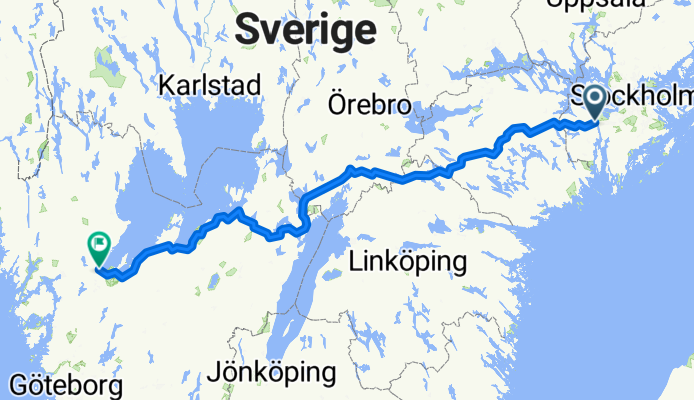
Summer 2021 - Södertälje till Vänersborg
A cycling route starting in Södertälje, Stockholm County, Sweden.
Overview
About this route
- -:--
- Duration
- 448.4 km
- Distance
- 494 m
- Ascent
- 463 m
- Descent
- ---
- Avg. speed
- 177 m
- Max. altitude
Route quality
Waytypes & surfaces along the route
Waytypes
Road
255.6 km
(57 %)
Quiet road
76.2 km
(17 %)
Surfaces
Paved
340.8 km
(76 %)
Unpaved
80.7 km
(18 %)
Asphalt
296 km
(66 %)
Paved (undefined)
44.8 km
(10 %)
Continue with Bikemap
Use, edit, or download this cycling route
You would like to ride Summer 2021 - Södertälje till Vänersborg or customize it for your own trip? Here is what you can do with this Bikemap route:
Free features
- Save this route as favorite or in collections
- Copy & plan your own version of this route
- Split it into stages to create a multi-day tour
- Sync your route with Garmin or Wahoo
Premium features
Free trial for 3 days, or one-time payment. More about Bikemap Premium.
- Navigate this route on iOS & Android
- Export a GPX / KML file of this route
- Create your custom printout (try it for free)
- Download this route for offline navigation
Discover more Premium features.
Get Bikemap PremiumFrom our community
Other popular routes starting in Södertälje
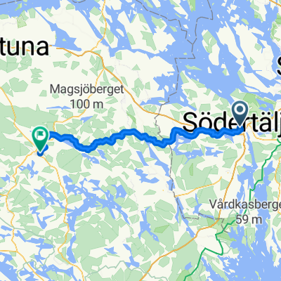
 Södertälje to Nygatan, Strängnäs
- Distance
- 57.5 km
- Ascent
- 587 m
- Descent
- 579 m
- Location
- Södertälje, Stockholm County, Sweden
 season opening
- Distance
- 33.8 km
- Ascent
- 456 m
- Descent
- 457 m
- Location
- Södertälje, Stockholm County, Sweden
 Summer 2021 - Södertälje till Vänersborg
- Distance
- 448.4 km
- Ascent
- 494 m
- Descent
- 463 m
- Location
- Södertälje, Stockholm County, Sweden
 Södertälje centrum naar Torggatan
- Distance
- 76.9 km
- Ascent
- 977 m
- Descent
- 936 m
- Location
- Södertälje, Stockholm County, Sweden
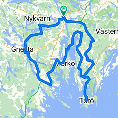 rando2
- Distance
- 205.7 km
- Ascent
- 452 m
- Descent
- 452 m
- Location
- Södertälje, Stockholm County, Sweden
 Route von Östra Kanalgatan
- Distance
- 650.2 km
- Ascent
- 5,659 m
- Descent
- 5,593 m
- Location
- Södertälje, Stockholm County, Sweden
 Södertälje - Örebro Dag 1: Södertälje - Eklången
- Distance
- 72 km
- Ascent
- 805 m
- Descent
- 799 m
- Location
- Södertälje, Stockholm County, Sweden
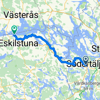 Södertälje - Mälarbaden etapp syd
- Distance
- 113.5 km
- Ascent
- 959 m
- Descent
- 961 m
- Location
- Södertälje, Stockholm County, Sweden
Open it in the app