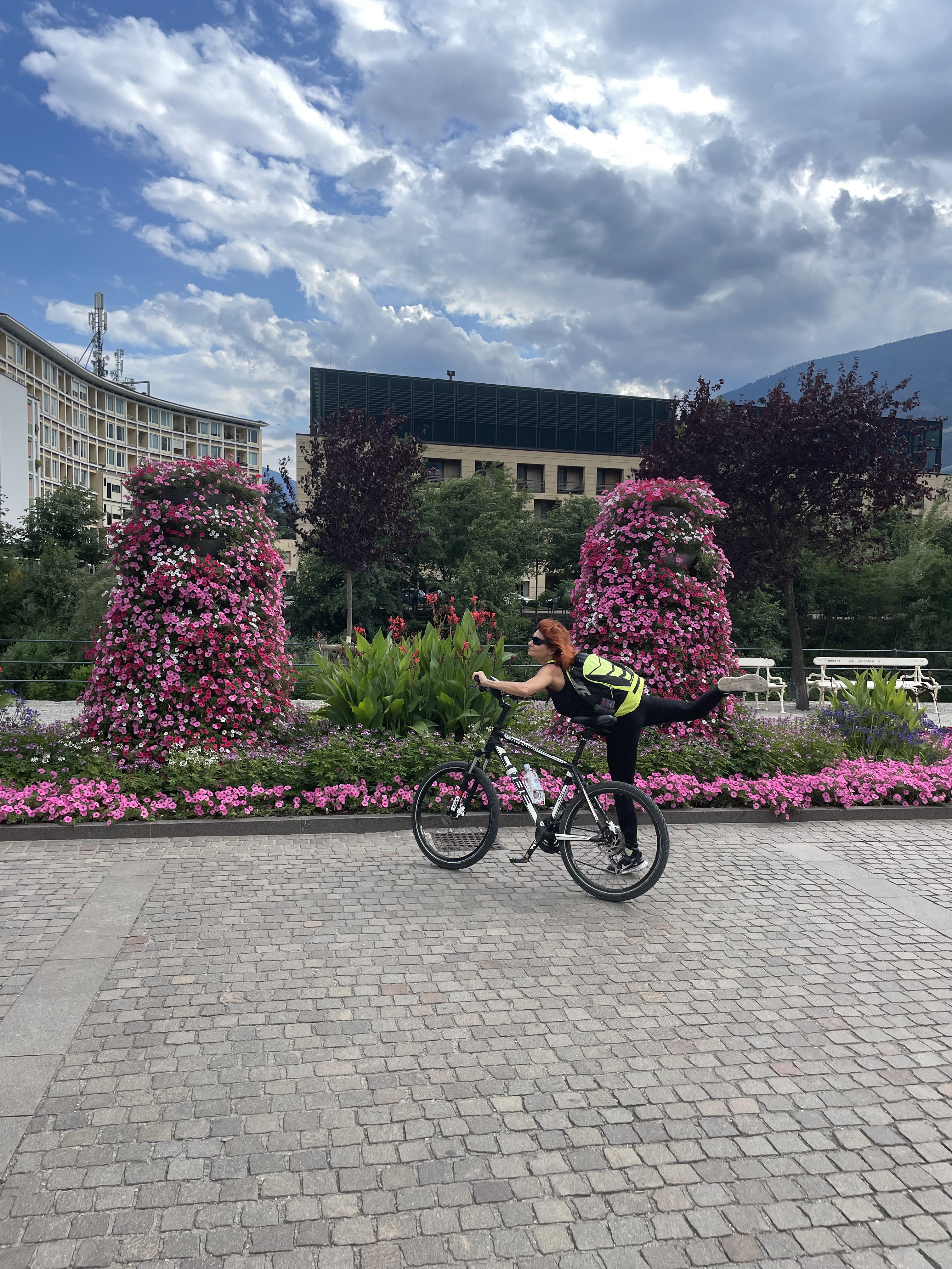
Schenna - Taserhöhenweg u.z.
A cycling route starting in Scena - Schenna, Trentino-Alto Adige, Italy.
Overview
About this route
Starting in Schenna into the Passeier Valley towards Saltaus. Hirzer cable car ascent. Taserhöhenweg trail (WW 40) up to Gsteierhof and descent back to Schenna. Many beautiful views into the valley. Flowing trail. Increased presence of hikers - please show solidarity and friendly behavior.
- -:--
- Duration
- 28.1 km
- Distance
- 1,414 m
- Ascent
- 1,414 m
- Descent
- ---
- Avg. speed
- ---
- Max. altitude
Route highlights
Points of interest along the route
Point of interest after 0 km
Start in Schenna
Point of interest after 3.6 km
Saltaus: Hirzer Seilbahn Talstation
Point of interest after 5.3 km
Hirzer Seilbahn: Bergstation
Point of interest after 7.8 km
Beginn WW 40: wechselnd Schotterweg-Singletrail
Point of interest after 11.3 km
Taser Seilbahn: Bergstation, Beginn des eigentlichen Höhenweges
Point of interest after 15 km
Gsteier-Hof: Ende des Taser Höhenweges (WW 40)
Point of interest after 25 km
Flowiger Singletrail (WW 3)
Continue with Bikemap
Use, edit, or download this cycling route
You would like to ride Schenna - Taserhöhenweg u.z. or customize it for your own trip? Here is what you can do with this Bikemap route:
Free features
- Save this route as favorite or in collections
- Copy & plan your own version of this route
- Sync your route with Garmin or Wahoo
Premium features
Free trial for 3 days, or one-time payment. More about Bikemap Premium.
- Navigate this route on iOS & Android
- Export a GPX / KML file of this route
- Create your custom printout (try it for free)
- Download this route for offline navigation
Discover more Premium features.
Get Bikemap PremiumFrom our community
Other popular routes starting in Scena - Schenna
 Schenna Meran
- Distance
- 12.3 km
- Ascent
- 301 m
- Descent
- 301 m
- Location
- Scena - Schenna, Trentino-Alto Adige, Italy
 Kuens nach Dia Dalade Campenstraße, Marling
- Distance
- 31.6 km
- Ascent
- 722 m
- Descent
- 796 m
- Location
- Scena - Schenna, Trentino-Alto Adige, Italy
 Schenna - Hirzer und Taser Abfahrt
- Distance
- 26.7 km
- Ascent
- 1,862 m
- Descent
- 1,862 m
- Location
- Scena - Schenna, Trentino-Alto Adige, Italy
 Schenna / Kalterersee
- Distance
- 103.3 km
- Ascent
- 751 m
- Descent
- 746 m
- Location
- Scena - Schenna, Trentino-Alto Adige, Italy
 Rothtalerweg, Schenna nach Dorfweg, Hafling
- Distance
- 12.3 km
- Ascent
- 3,041 m
- Descent
- 2,334 m
- Location
- Scena - Schenna, Trentino-Alto Adige, Italy
 schenna MTB
- Distance
- 37.4 km
- Ascent
- 1,340 m
- Descent
- 1,356 m
- Location
- Scena - Schenna, Trentino-Alto Adige, Italy
 Schenna - Partschins
- Distance
- 40.5 km
- Ascent
- 1,315 m
- Descent
- 1,317 m
- Location
- Scena - Schenna, Trentino-Alto Adige, Italy
 Oberschererhof, Marling - Schenna
- Distance
- 10.7 km
- Ascent
- 13 m
- Descent
- 337 m
- Location
- Scena - Schenna, Trentino-Alto Adige, Italy
Open it in the app


